
attraction · Málaga
El Tajo de Ronda
Andalucía 365 · Updated 18 July 2026
Our Verdict
“El Tajo de Ronda is an undeniable marvel of geography and civil engineering. While the cliff-top viewpoints offer spectacular, effortless panoramas, descending into the gorge provides the true measure of its sheer scale. Expect steep, challenging trails that richly reward those prepared for a strenuous climb.”
Last verified: July 2026
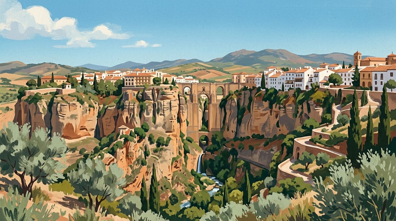
Plunging nearly 100 metres into the earth, El Tajo de Ronda is a monumental limestone cleft carved over millennia by the Guadalevín River. This sheer drop dictates the urban layout of one of the most famous towns in Andalucía. Standing on the precipice, visitors hear the rush of water echoing off vertical rock faces, looking down at a gorge that acts as a natural defensive moat. The canyon slices the town into two districts: the historic Moorish quarter of La Ciudad, and the 18th-century expansion known as El Mercadillo. Whitewashed houses cling to the abyss, demonstrating a remarkable feat of urban integration with extreme geography. El Tajo is a rare example of a dramatic geological formation serving as the physical and historical centrepiece of a major settlement.
The Three Bridges of Ronda
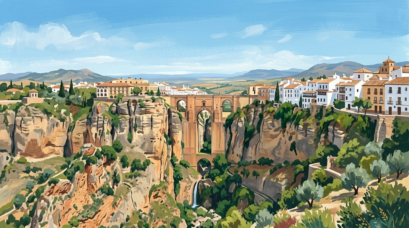
To traverse El Tajo is to walk through centuries of engineering. The focal point is the Puente Nuevo, a colossal masonry bridge completed in 1793 by the architect José Martín de Aldehuela. Spanning the widest section of the gorge, its massive stone pillars anchor directly into the riverbed 98 metres below. Within its central arch lies a small interpretation centre detailing the lengthy construction process. The current structure replaced a previous bridge built in 1735, which collapsed six years later due to structural failures.
Following the gorge downstream reveals the evolution of the town crossings. The Puente Viejo dates back to the early modern period, while the Puente Árabe sits lower still, near the Arab Baths. Each bridge offers a different perspective on the vertical drop, illustrating how successive generations tackled the formidable canyon.
Viewpoints and Gardens
Understanding the sheer scale of the gorge requires stepping back. The Cuenca Gardens (Jardines de Cuenca) cling to the edge of the El Mercadillo district in a series of terraced platforms. Designed to honour the sister city of Cuenca, these gardens offer an unobstructed profile view of the Puente Nuevo spanning the rock faces.
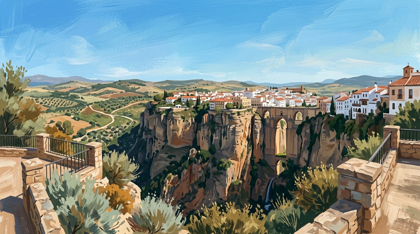
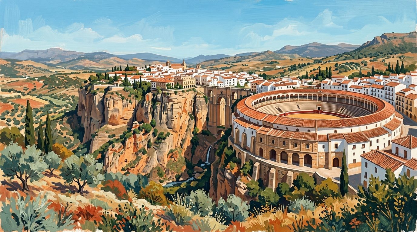
Late afternoon is ideal for photography. As the sun lowers, it strikes the ashlar stone of the Puente Nuevo, turning it a deep ochre that contrasts with the shadows in the canyon. The Alameda del Tajo, a 19th-century tree-lined promenade near the bullring, provides panoramic vistas over the surrounding Serranía de Ronda, concluding at a cantilevered balcony hanging over the cliff edge. Those reading Ronda: The City Defying Gravity Above El Tajo will know these viewpoints are central to grasping the city layout.
Descending to the Valley Floor
To grasp the magnitude of El Tajo, visitors must descend into the valley, known as the Hoya del Tajo. The Camino de los Molinos leads walkers down a steep, cobbled path to the base of the cliffs. Historically, this route was crucial for accessing agricultural plots. At the bottom, the Guadalevín River pools into small basins and forms a waterfall beneath the Puente Nuevo.
Looking up from the valley floor shifts the perspective completely. The bridge appears even more imposing, its stone columns stretching impossibly high. The route passes the ruins of old flour mills that once lined the riverbanks. These structures were largely abandoned following a devastating rockfall in 1917, leaving behind masonry walls slowly being reclaimed by vegetation.
The Camino del Desfiladero Walkway
A recent addition to the gorge experience is the Camino del Desfiladero, a walkway launched in 2024. Starting from the Plaza de María Auxiliadora, also known locally as Plaza del Campillo, this pathway takes visitors down the western face of the gorge to the base of the Puente Nuevo. The project revitalised historical routes that had long been inaccessible.
The path zigzags down the cliffside to a viewing area directly opposite the main waterfall. Visitors walk alongside sheer rock faces and pass structural remnants of old defensive walls. As a controlled route, it provides a safe, structured way to explore the lower reaches of the gorge while protecting the fragile geological environment.
Terrain and Accessibility
Exploring El Tajo requires a realistic assessment of physical ability. Viewpoints along the top of the gorge, including the Puente Nuevo, the Alameda del Tajo, and the upper levels of the Cuenca Gardens, are paved and largely accessible to wheelchair users.
However, descending into the gorge involves steep gradients, uneven cobblestones, and dirt tracks. The Camino del Desfiladero and traditional paths require moderate fitness, especially for the strenuous climb back up to the town. Sturdy walking shoes are essential, as rocky paths become slippery after rain. During summer, the heat within the enclosed canyon walls can be intense, making it crucial to carry adequate water.
Practical Logistics
Drivers will arrive via the A-374 or A-367, with municipal car parks available at Plaza del Socorro and near the bullring. The bus station is a ten minute walk from the gorge. The train station links Ronda to Algeciras and to Antequera: The Historic Heartland of Inland Málaga, which serves as a hub for high speed rail connections.
Access to the upper viewpoints and the bridges is free and open around the clock. Visitors should check the official tourism portal at turismoderonda.es to confirm current visitor information, required tickets for the lower walkways, and seasonal access rules.
Nearby Pairings
After absorbing the dramatic geology of El Tajo, visitors can explore the natural extremes of the region. A short drive away lies a wilderness of prehistoric Spanish fir forests and limestone peaks. Reading our guide to Exploring Sierra de las Nieves National Park provides an ideal itinerary for hiking. Alternatively, discover more geological wonders in our overview of Limestone Peaks and Ancient Dolmens: Exploring the Hinterland of Málaga.
Nearby worth your time
A few well-placed stops for extending the day without turning it into a checklist.
Continue through Inland Málaga
Step back into the wider landscape with local guides, nearby places and the province overview.
Place guide · 7 min
Playa de Burriana: A Guide to Nerja's Premier Beach
Discover Playa de Burriana, the most iconic beach in Nerja, known for its wide sands, excellent chiringuitos, and clear waters on the Costa del Sol.
Place guide · 7 min
Playa de Cabopino: Dunes, Pines and Clear Waters near Marbella
A protected enclave of natural dunes and fine sand situated between Marbella and Fuengirola. This coastal stretch offers a rare glimpse of the original Mediterranean landscape.
Itinerary · 13 min
One Week in Ronda: A Seven-Day Itinerary for the Serranía
A seven-day stay in Ronda allows you to experience the deep gorge and ancient streets long after the day-trippers have left. Using the city as a base, you can easily explore the surrounding white villages, hike the Sierra de las Nieves, and settle into the true rhythm of mountain life.