
attraction · Málaga
Mirador de Ronda
Andalucía 365 · Updated 18 July 2026
Our Verdict
“The Mirador de Ronda delivers an unforgettable perspective on one of Spain's most dramatic geological boundaries. While the upper paved balconies offer an easy, spectacular stroll for all abilities, the steep descent to the valley floor provides the truest sense of scale for those fit enough to tackle the rough track.”
Last verified: July 2026
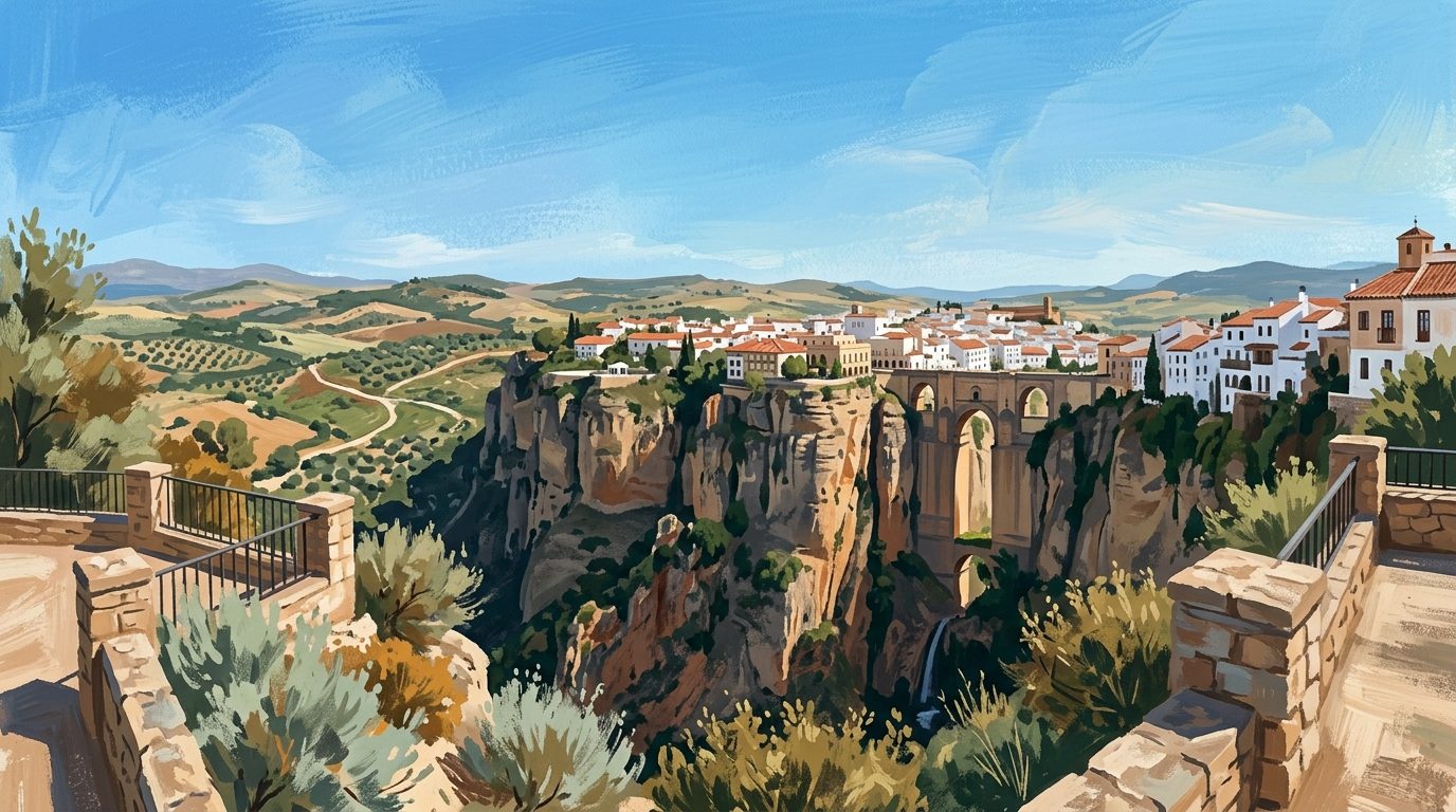
Stepping onto the cantilevered balconies of the Mirador de Ronda, the ground drops away into a sheer, 100-metre limestone abyss. The Guadalevín River carved the spectacular Tajo de Ronda over millions of years, cutting relentlessly through hard sedimentary molasse and calcarenite rock. This deep ravine serves as a natural defensive barrier and a dramatic dividing line between the old Moorish citadel, La Ciudad, and the newer mercantile district, El Mercadillo. Standing at the wrought-iron railings, visitors feel the wind sweeping up the vertical cliff faces, carrying the cries of kestrels and peregrine falcons that nest in the rocky crevices. This extensive series of viewpoints forms one of the most defining panoramas in southern Spain, laying bare the profound geology shaping this clifftop city.
The Alameda del Tajo
The northernmost stretch of the viewpoint network begins in the Alameda del Tajo, an elegant 19th-century public park. Five parallel avenues lined with a rich diversity of botanical specimens provide welcome shade before the terrain terminates abruptly at the cliff edge. The park features monumental bicentennial trees, including soaring Himalayan cedars, immense stone pines, and three-spined acacias, planted near the central duck pond. Walking along the broad pathways, visitors can admire the grand scale of this historical promenade, which continues northwards along the Paseo de los Ingleses. The Alameda remains a beloved local gathering space, combining formal landscaping with unyielding drops over the western precipice.
Paseo de Blas Infante and the Asa de la Caldera
Following the paved path southwards leads onto the Paseo de Blas Infante, which features a series of projecting stone platforms. These balconies hang boldly over the void, allowing observers to look straight down the dizzying drop. Directly below these terraces lies a striking geological depression known as the Asa de la Caldera. This formation occurs where the river valley widens; softer clay and marl layers eroded faster than the upper limestone, creating a hollow resembling a cauldron. From this vantage point, sweeping views extend far beyond the immediate gorge, looking over a vast patchwork of rolling agricultural plains and the distant ridges of the Serranía de Ronda.
Puente Nuevo and the Gorge Architecture
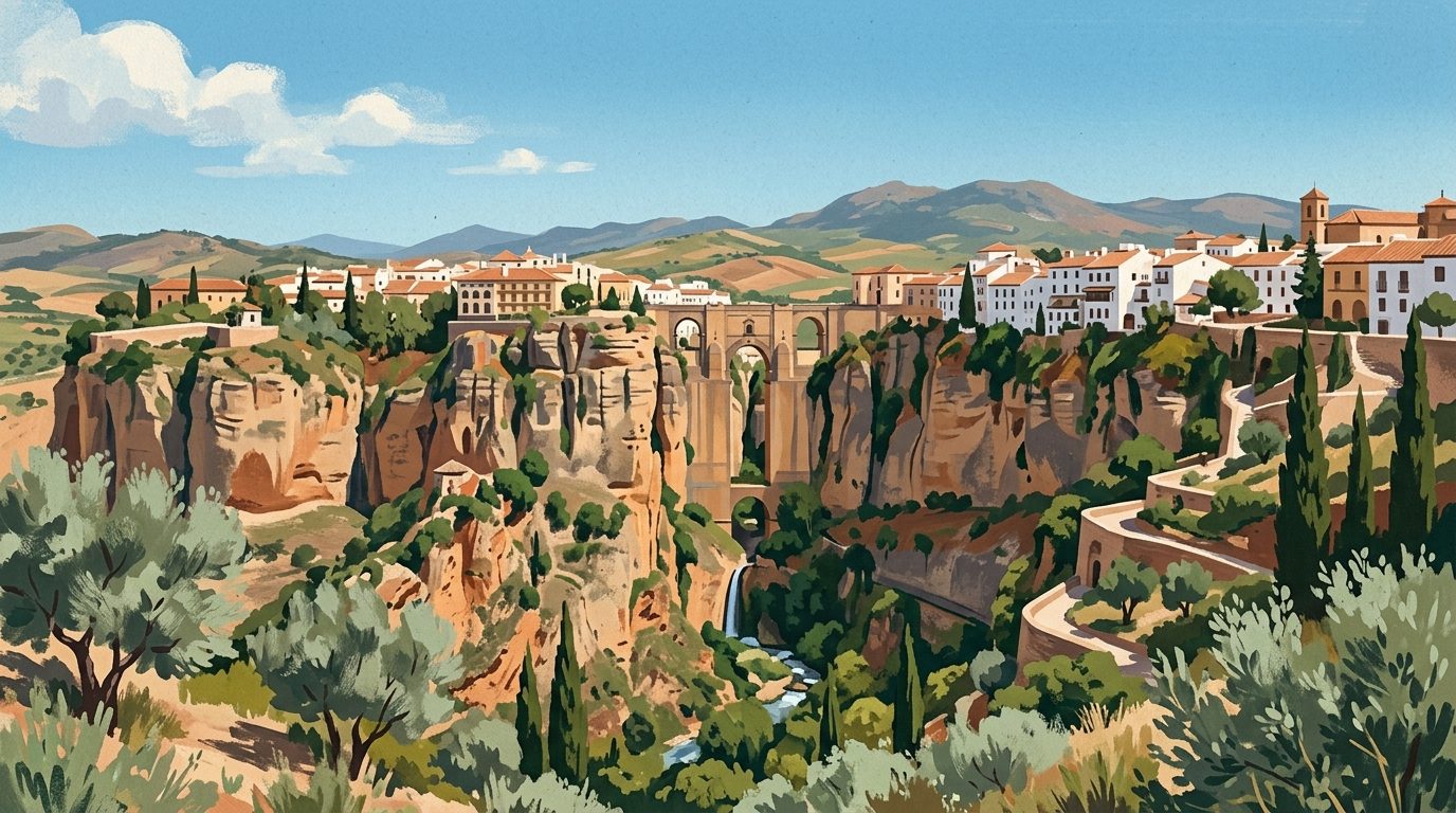
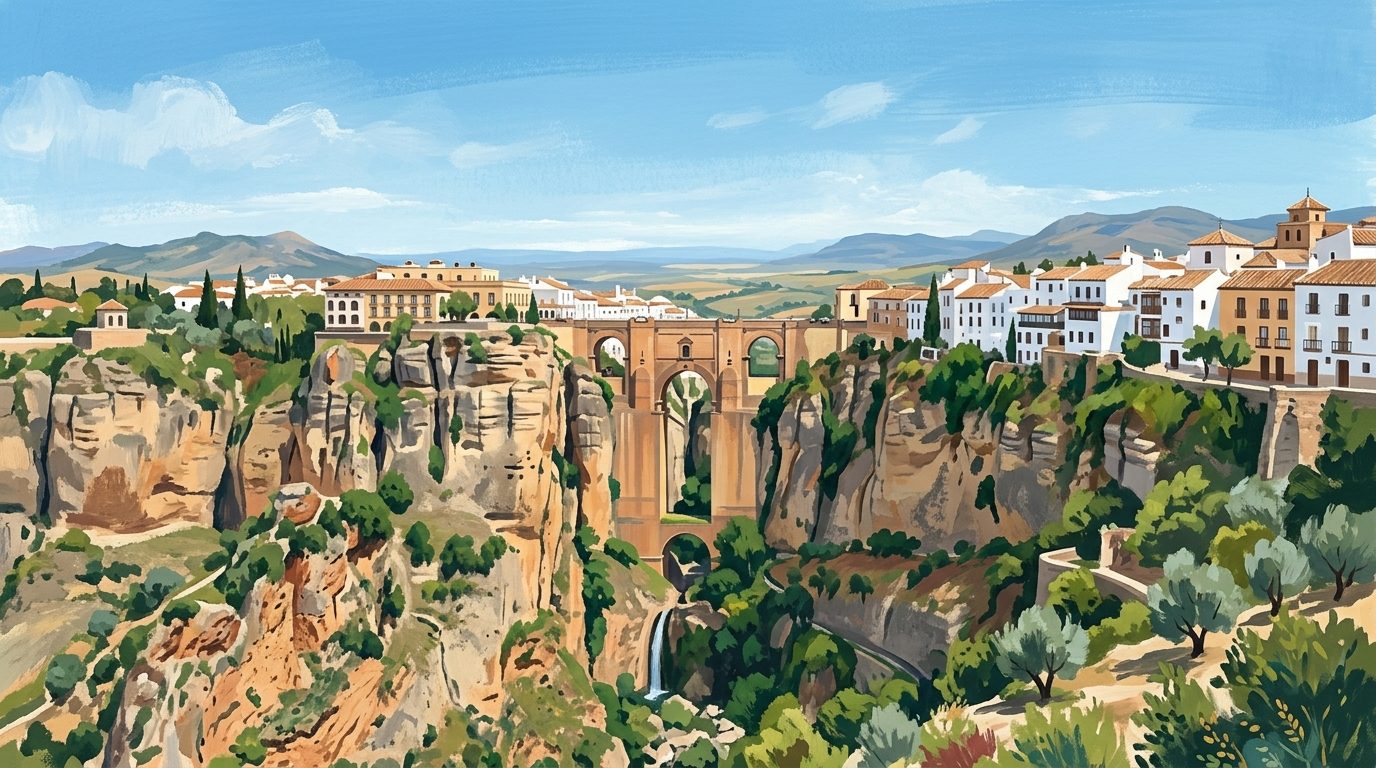
The viewpoint network culminates at the Puente Nuevo, the monumental 18th-century stone bridge spanning the narrowest and deepest section of the chasm. Designed by the architect José Martín de Aldehuela and completed in May 1793 after more than forty years of complex construction, the bridge remains a formidable piece of structural engineering. Its towering masonry piers reach down to the riverbed, constructed from heavy ashlar blocks quarried directly from the adjacent gorge walls. From the upper viewpoints, the 98-metre height of the structure is staggering. It seamlessly connects the historical district with the modern neighbourhood, replacing a doomed, single-arch bridge constructed in 1735 that collapsed just six years later, claiming approximately fifty lives.
Descending the Camino de los Molinos
To comprehend the verticality of Ronda, visitors should follow the steep track known as the Camino de los Molinos down to the valley floor, referred to as the Hoya del Tajo. This lower vantage point looks back up the sheer cliff face, revealing whitewashed houses seemingly suspended directly on the precipice. The ruins of centuries-old flour mills line the lower riverbanks. These mills once ground grain using river power, but were abandoned following a devastating earthquake and landslide in 1917 that claimed sixteen lives. This perspective strips away the urban crowds found at the top, offering a quiet, imposing view of the natural ramparts.
Terrain and Accessibility
The upper viewpoints spread across the Alameda del Tajo and Paseo de Blas Infante are wide, solidly paved, and completely flat. This terrain makes them highly accessible for wheelchair users, pushchairs, and visitors with limited mobility. The stone-railed balconies are securely fenced, providing safe viewing points. However, the descent into the valley via the Camino de los Molinos is an entirely different undertaking. The track is consistently steep, uneven, and covered in loose gravel alongside rough cobbles. It is physically demanding, particularly on the strenuous uphill return journey under the intense Andalucían sun. The lower path strictly suits fit walkers equipped with sturdy footwear and ample drinking water.
Practicalities and Planning
The Mirador de Ronda and the surrounding parklands are open public spaces, freely accessible at any time. The most comfortable temperatures for walking occur during spring and autumn. In mid-summer, early morning or late afternoon visits are absolutely essential to avoid the fierce midday heat and the large influx of day-tripping coach groups. The sheer limestone cliffs take on a deep golden hue as the sun sets, making the late afternoon a rewarding time for landscape photography. As policies for entering the interior chambers of the bridge can change, visitors should verify live opening details on the official Turismo de Ronda website.
Suggested Nearby Pairings
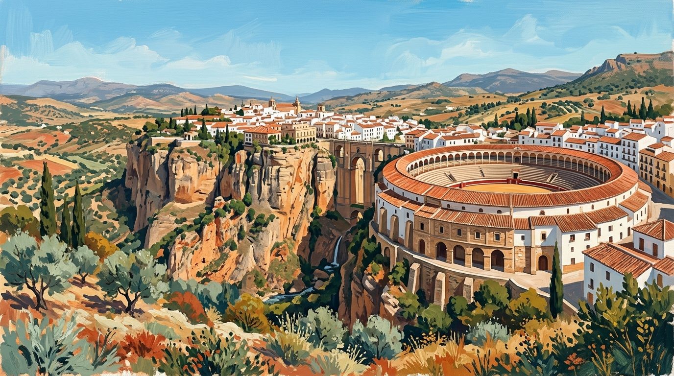
After exploring the cliff edges, the immediate next step is to delve deeper into the city itself. A comprehensive tour of Ronda reveals beautifully preserved ancient Arab baths, grand Renaissance palaces such as the Palacio de Mondragón, and a deep-rooted equestrian heritage at the Real Maestranza cavalry riding school. For visitors wanting to experience the broader natural environment, the high limestone peaks and prehistoric fir forests of the Sierra de las Nieves National Park lie just a short drive to the east. Alternatively, use the city as a base for exploring the hinterland of Málaga, an expansive region rich in challenging hiking trails, dramatic river gorges, and striking mountain scenery.
Nearby worth your time
A few well-placed stops for extending the day without turning it into a checklist.
Continue through Inland Málaga
Step back into the wider landscape with local guides, nearby places and the province overview.
Place guide · 7 min
Playa de Burriana: A Guide to Nerja's Premier Beach
Discover Playa de Burriana, the most iconic beach in Nerja, known for its wide sands, excellent chiringuitos, and clear waters on the Costa del Sol.
Place guide · 7 min
Playa de Cabopino: Dunes, Pines and Clear Waters near Marbella
A protected enclave of natural dunes and fine sand situated between Marbella and Fuengirola. This coastal stretch offers a rare glimpse of the original Mediterranean landscape.
Itinerary · 13 min
One Week in Ronda: A Seven-Day Itinerary for the Serranía
A seven-day stay in Ronda allows you to experience the deep gorge and ancient streets long after the day-trippers have left. Using the city as a base, you can easily explore the surrounding white villages, hike the Sierra de las Nieves, and settle into the true rhythm of mountain life.