
attraction · Málaga
Puente Nuevo de Ronda viewpoint
Andalucía 365 · Updated 18 July 2026
Our Verdict
“Descending into the El Tajo gorge provides the only true sense of scale for Ronda’s iconic 18th-century bridge. While the steep, unpaved path is physically demanding and completely unsuitable for those with mobility issues, the reward is an unmatched perspective of Andalucían engineering and raw limestone landscape.”
Last verified: July 2026
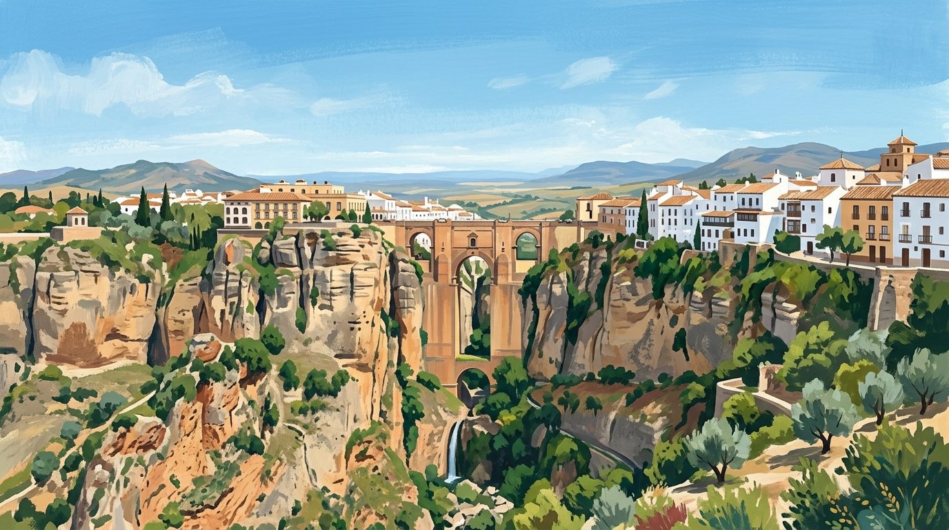
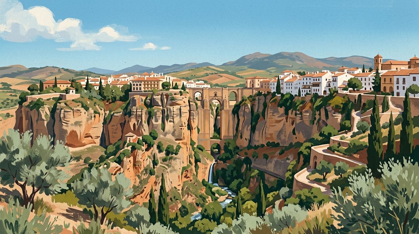
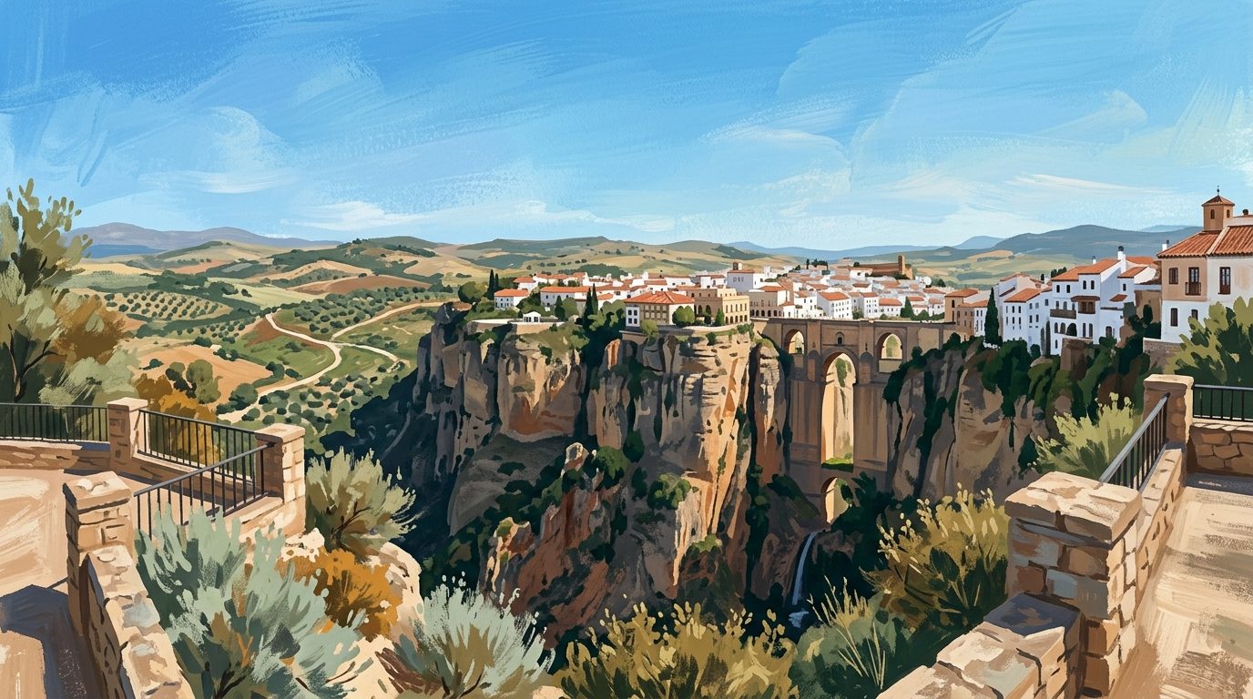
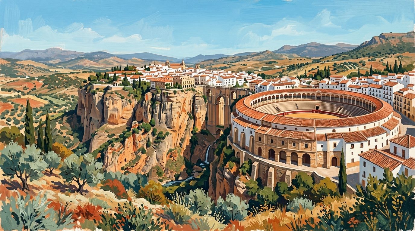
Stand at the edge of the El Tajo gorge, and the sheer drop into the canyon forces a sharp intake of breath. The Puente Nuevo, an 18th-century masonry bridge, spans this dramatic 98-metre chasm, effectively pinning the two halves of Ronda together. While the views from the paved streets above are sweeping, the true scale of architect José Martín de Aldehuela's masterpiece only reveals itself when viewed from the lower paths. From the base of the cliffs, the golden stone blocks appear to grow organically from the natural limestone, while the Guadalevín river tumbles through the narrow canyon floor below.
The Engineering Feat Over El Tajo
The name 'New Bridge' is somewhat relative, as the current structure was completed in 1793 after more than four decades of continuous labour. The successful design required stone blocks to be quarried directly from the bottom of the gorge and hoisted up the vertical rock face. This monumental effort allowed the modern market neighbourhood, known as El Mercadillo, to safely connect with the historic Moorish quarter of La Ciudad. Today, it remains the defining image of the city and an essential stop for those travelling inland from the coastal resorts of Costa del Sol Occidental. Seeing the bridge from below provides a necessary sense of proportion, illustrating why Ronda was such a formidable defensive stronghold for centuries.
The Tragedy of the First Attempt
The imposing structure that visitors walk across today was actually the second attempt to bridge the deepest part of the canyon. In 1735, a single-arch design was rapidly constructed over the course of just eight months. However, the engineering principles of the time were poorly applied to such a massive span. In 1741, just six years after its completion, the entire bridge collapsed into the riverbed, resulting in the tragic deaths of fifty people. This disaster deeply affected the local population and necessitated the much sturdier, triple-arch design proposed by Aldehuela, which ultimately took 42 years to finish.
The Descent into the Gorge
The most dramatic perspective of the bridge requires a physical descent into the canyon. The viewpoints beneath the Puente Nuevo are spectacular, offering the kind of sweeping panoramas that define inland Málaga. The traditional route, historically known as the Camino de los Molinos, begins near the Plaza de María Auxiliadora. This track winds down the western face of the cliffs, originally providing access to the grain mills that once operated along the river. As you lose elevation, the central arch of the bridge comes into clear view.
Looking up from these lower plateaus, the 98-metre height of the central pillars becomes overwhelmingly apparent. The landscape here is raw and unpolished. You can observe the horizontal geological layers of the limestone cliffs and the remnants of older Moorish fortifications integrated directly into the rock. The best photographic angles are found near the Arco del Cristo, an old stone gateway of Andalusí origin that frames the waterfall where the river continues its journey through the valley.
Wildlife Within the Canyon
The sheer walls of the El Tajo gorge serve as an unexpected haven for local wildlife. While walking the lower paths, visitors should watch the sky and the crevices above. The updrafts created by the narrow canyon walls provide perfect conditions for birdlife. Flocks of red-billed choughs and swifts frequently dart from the rock faces, while kestrels and peregrine falcons use the high ledges as nesting sites. The constant moisture from the Guadalevín river also supports a microclimate at the base of the gorge, fostering varied Mediterranean flora that contrasts sharply with the dry upper plateaus of the Serranía de Ronda.
The Interpretation Centre and Former Prison
Inside the bridge itself, housed within a small chamber situated directly above the central arch, is the Puente Nuevo Interpretation Centre. This space originally served as a prison during the 18th and 19th centuries, capitalising on the inescapable sheer drops on either side. Today, it offers a brief overview of the bridge's construction, the local geology, and the wildlife that inhabits the gorge. A short audiovisual presentation highlights the historical timeline, showing how the engineering techniques of the era were adapted to this extreme environment. While the room is compact, standing inside the masonry structure adds a tangible layer of history to the experience.
Practical Advice and Accessibility
Most travellers arrive in Ronda by train, bus, or car. Drivers should make use of the underground car parks such as Parking Plaza del Socorro, as navigating the narrow, restricted streets of the historic quarter is highly unadvisable. From the town centre, the descent to the main lower viewpoints begins at Plaza de María Auxiliadora.
The pathway down is steep, often composed of loose dirt and stones that have been polished smooth by thousands of visitors. It is not accessible for wheelchair users, pushchairs, or those with significant mobility impairments. Sturdy footwear with good grip is absolutely essential, even in dry weather. Bring plenty of drinking water, as there are no facilities once you leave the upper town.
Local authorities manage access to certain sections of the lower gorge paths, which have recently been integrated into a regulated route known as the Desfiladero del Tajo. You should always verify the current access rules, ticketing requirements, and open sections directly with the Ronda Tourism Board before your visit.
Sensible Nearby Pairings
Once you have conquered the gorge and returned to the upper town, you can continue exploring the ancient streets. For a comprehensive look at the city itself, follow our guide to Ronda: The City Defying Gravity Above El Tajo. Alternatively, if you wish to swap the deep canyon for high mountain peaks, a drive towards the prehistoric fir forests is highly recommended. You can find detailed routes in our guide to Exploring Sierra de las Nieves National Park, located just a short distance from the city.
Nearby worth your time
A few well-placed stops for extending the day without turning it into a checklist.
Continue through Inland Málaga
Step back into the wider landscape with local guides, nearby places and the province overview.
Place guide · 7 min
Playa de Burriana: A Guide to Nerja's Premier Beach
Discover Playa de Burriana, the most iconic beach in Nerja, known for its wide sands, excellent chiringuitos, and clear waters on the Costa del Sol.
Place guide · 7 min
Playa de Cabopino: Dunes, Pines and Clear Waters near Marbella
A protected enclave of natural dunes and fine sand situated between Marbella and Fuengirola. This coastal stretch offers a rare glimpse of the original Mediterranean landscape.
Itinerary · 13 min
One Week in Ronda: A Seven-Day Itinerary for the Serranía
A seven-day stay in Ronda allows you to experience the deep gorge and ancient streets long after the day-trippers have left. Using the city as a base, you can easily explore the surrounding white villages, hike the Sierra de las Nieves, and settle into the true rhythm of mountain life.