Things to do
A Guide to Hiking and Walking in Andalucía
Discover the best hiking trails in Andalucía, from the high peaks of the Sierra Nevada to the volcanic coast of Cabo de Gata and the lush forests of Grazalema.
By Dan · Updated 16 July 2026 · 7 min read
From the snow-capped summits of the Sierra Nevada to the semi-desert coastal paths of Almería, Andalucía offers an extraordinary variety of terrain for those who prefer to explore on foot. This is a region where old drove roads and Moorish irrigation channels provide a ready-made network of trails connecting ancient villages and rugged mountain passes.
While many visitors arrive in Southern Spain with visions of sun-drenched beaches and chilled sherry, a growing number of travellers are discovering that Andalucía is one of Europe’s premier hiking destinations. The sheer scale of the landscape is often surprising; this is a region that contains the highest peaks in the Iberian Peninsula, the only true desert in Europe, and the largest protected natural park in Spain. For those who enjoy walking, the variety is staggering. You can spend your morning trekking through a forest of prehistoric Spanish Firs in Grazalema and your afternoon walking along a cliff edge overlooking the Mediterranean.
The infrastructure for walkers has improved significantly over the last decade. The network of 'senderos' (paths) is generally well-marked, and the rise of digital mapping tools has made even the most remote sierras accessible to those with basic navigation skills. However, the Spanish approach to the outdoors remains pleasantly uncommercialised. Outside of the major 'bucket-list' routes, you are likely to have the trails to yourself, sharing the path only with the occasional mountain goat or a local shepherd. If you want a gentle stroll between white-washed villages or a challenging multi-day expedition, the following areas represent the very best of what the region has to offer.
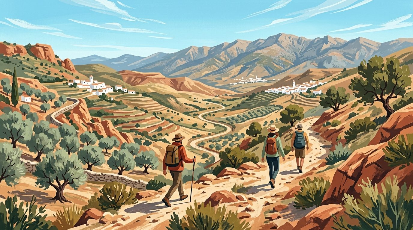
The High Peaks: Sierra Nevada & The Alpujarras
The Sierra Nevada range dominates the skyline of Granada and provides the most challenging mountain terrain in the region. The star of the show is Mulhacén, which at 3,482 metres is the highest point in mainland Spain. While it is a non-technical walk in the summer months, the altitude and rapidly changing weather require respect and preparation. Most hikers start their ascent from the Hoya de la Mora above the ski resort of Pradollano, or take the seasonal National Park shuttle bus from Capileira (typically operating from late June to October) to get a head start on the elevation.
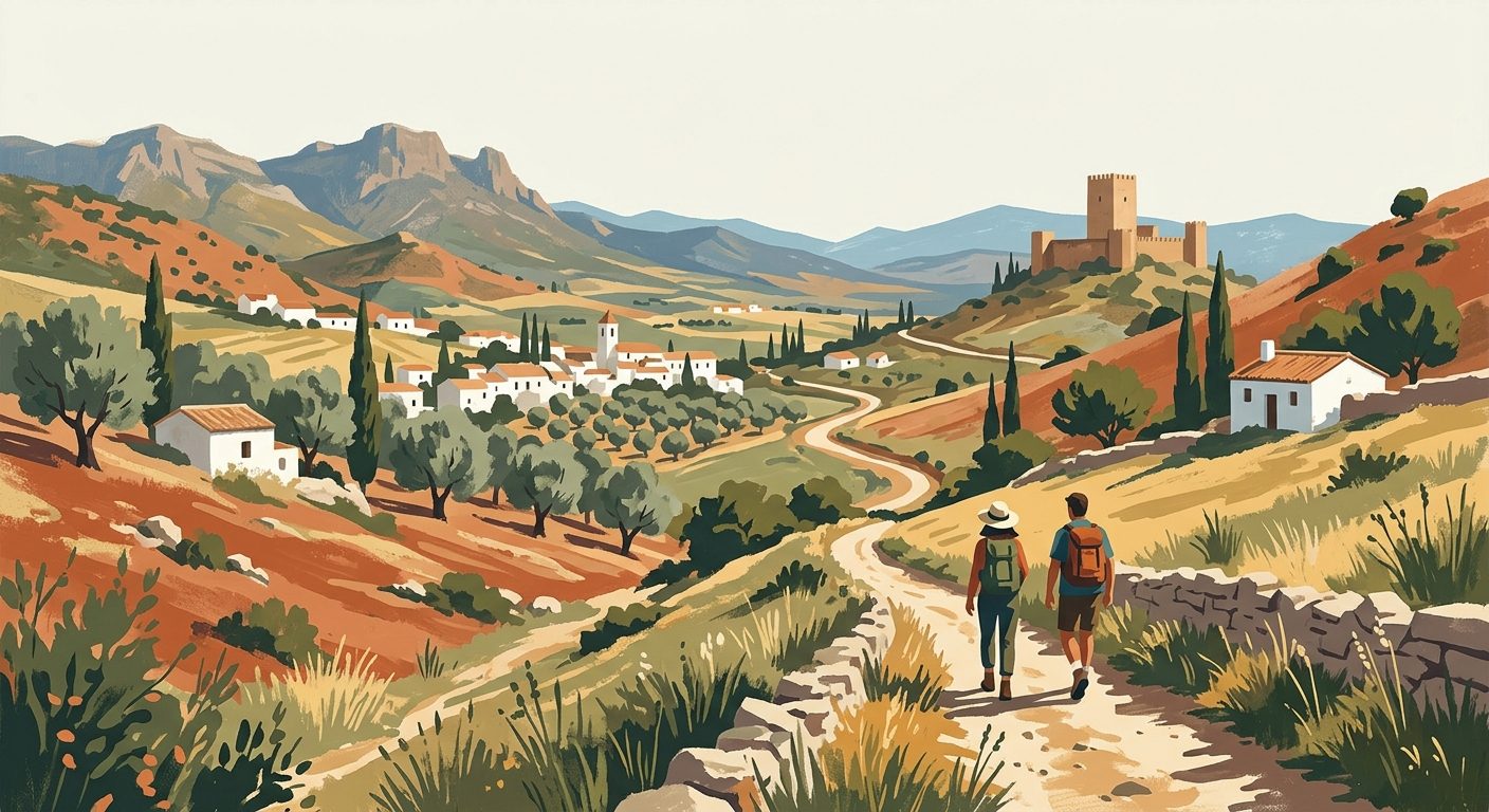
To the south of the high peaks lie the Alpujarras. This region of high-altitude valleys is famous for its unique Berber-style architecture and complex irrigation systems known as 'acequias'. Walking here is as much a cultural experience as a physical one. The trails often follow these ancient water channels, providing flat, shaded paths with spectacular views across the valleys. The Poqueira Gorge, connecting the villages of Pampaneira, Bubión, and Capileira, is a classic route that can be completed in a few hours but offers some of the most iconic scenery in the province.
For those looking for expert guidance in these high mountains, Spanish Highs based in Lanjarón offers year-round guided treks and winter skills courses.
Key Trails in the Alpujarras
- The Poqueira Loop: A circular route connecting the three main villages of the gorge. Moderate difficulty, roughly 3-4 hours.
- Acequia de la Solana: A high-level walk following the irrigation channels above Trevélez, one of the highest villages in Spain (and the highest in Andalucía).
- The GR-7: This long-distance path runs through the heart of the Alpujarras. The section from Bubión to Pórtugos is particularly rewarding.
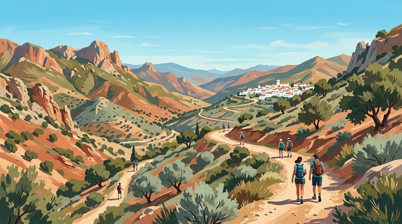
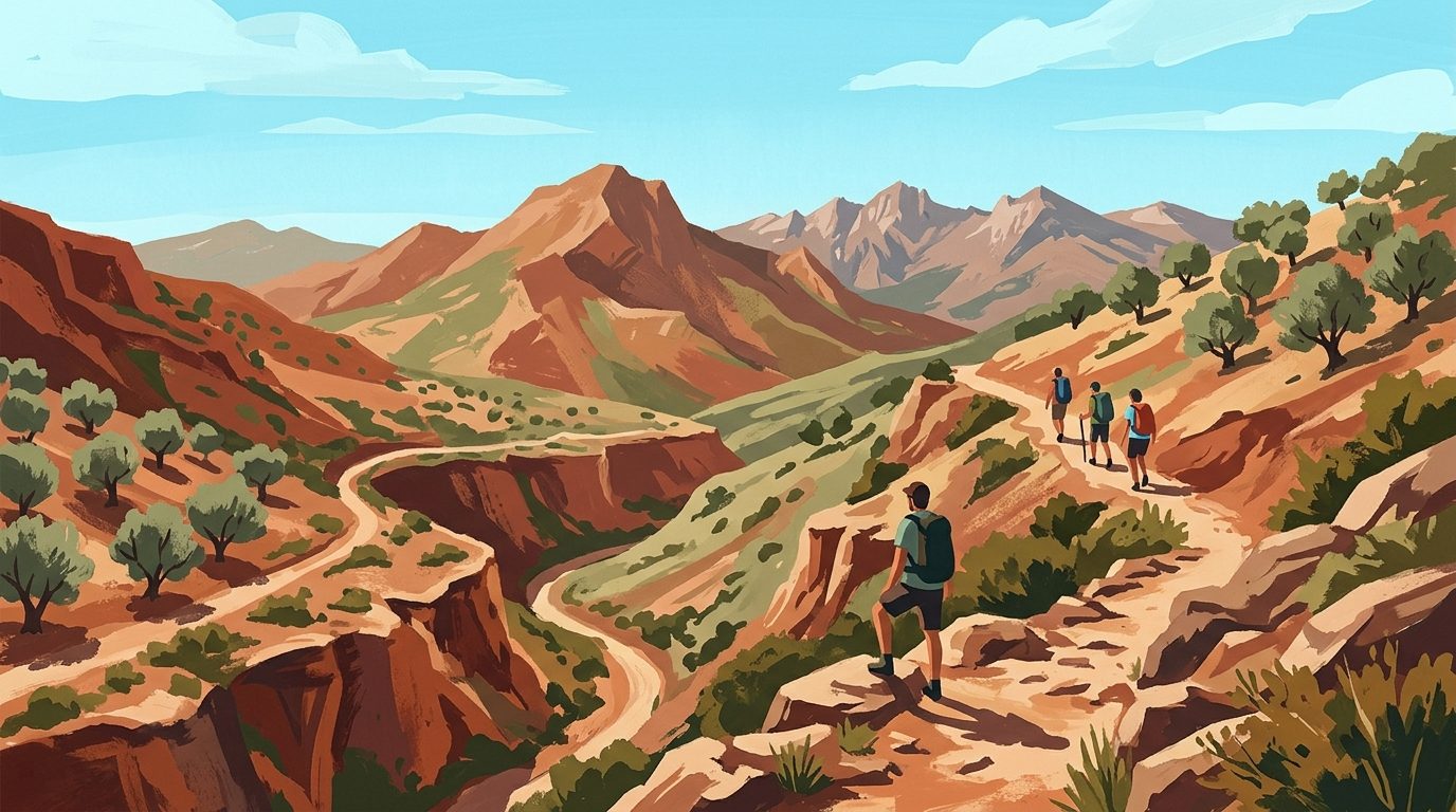
The Wild Interior: Sierra de Cazorla
Located in the province of Jaén, the Sierras de Cazorla, Segura y Las Villas Natural Park is the largest protected area in Spain. It is a world away from the arid landscapes often associated with the south. Here, you will find lush pine forests, deep limestone canyons, and the source of the mighty Guadalquivir River. It is a haven for wildlife; it is almost impossible to walk here without seeing griffon vultures circling overhead or fallow deer darting through the trees.
The most famous walk in the park is the Río Borosa trail. This route follows the river upstream through the Cerrada de Elías, a spectacular gorge where the path is suspended over the water on wooden walkways, and continues up to the Aguas Negras lagoon. For a more secluded experience, head to the southern end of the park near the village of Quesada to explore the high limestone plateaus.
Top Experiences in Cazorla
- Cerrada de Elías: An easy-to-moderate walk perfect for families, featuring dramatic river scenery.
- Pico Cabañas: A challenging hike to one of the park’s highest lookouts, offering views that stretch across the olive groves of Jaén.
- The Source of the Guadalquivir: A gentle walk to the spot where Andalucía’s most important river begins as a small spring.
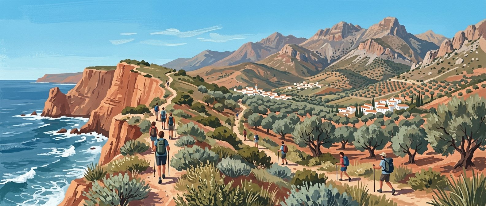
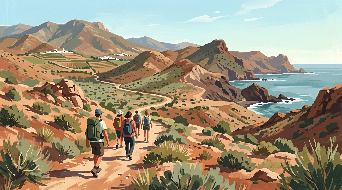
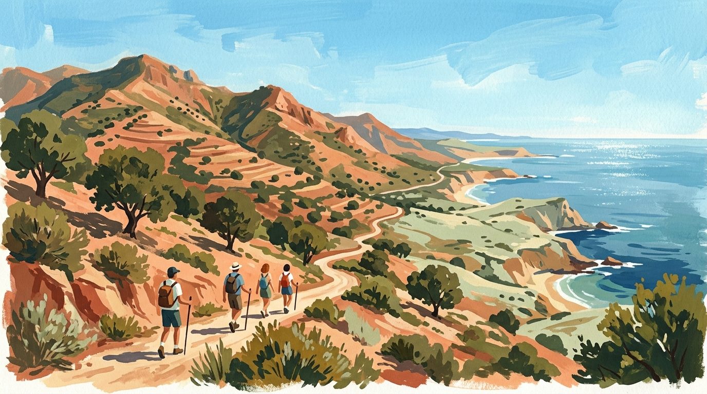
Coastal Splendour: Cabo de Gata-Níjar
In the province of Almería, the Cabo de Gata-Níjar Natural Park offers a completely different walking environment. This is a volcanic landscape of jagged cliffs, hidden coves, and salt flats. Walking here is best done in the autumn and spring, as the summer heat can be intense and shade is non-existent. The coastal path between the town of San José and the lighthouse at Cabo de Gata takes you past some of the most beautiful beaches in Europe, including Playa de los Genoveses and Playa de Mónsul.
The terrain is mostly flat or gently undulating, making it accessible for walkers of all levels. The contrast between the dark volcanic rock and the turquoise Mediterranean water creates a striking visual experience. For those interested in industrial heritage, the walk from Rodalquilar through the abandoned gold mines provides a fascinating look at the area’s mining past.
The Adrenaline Route: Caminito del Rey
No guide to walking in Andalucía would be complete without mentioning the Caminito del Rey in the province of Málaga. Once known as the world’s most dangerous walkway, it was completely rebuilt and reopened in 2015 as a safe, spectacular aerial path. The route is pinned to the side of the Gaitanes Gorge, suspended 100 metres above the river. While it is more of a walk than a hike, the views are unparalleled.
Entry is strictly controlled via a booking system, and tickets often sell out months in advance. It is a linear walk of about 7.7 kilometres, usually starting at the northern entrance in Ardales and finishing in El Chorro.
The Pine Forests of Grazalema
The Sierra de Grazalema in Cádiz is famously the wettest place in Spain, and this rainfall supports a landscape of incredible greenery. The park is home to the Pinsapo (Spanish Fir), a rare tree that survived the last ice age. Walking through a Pinsapar forest feels like stepping back in time. The hike from the village of Grazalema to the Pinsapar forest requires a permit from the park office in El Bosque, but the effort is rewarded with a trek through a silent, ancient woodland that feels entirely out of place in Southern Europe.
Another classic in this area is the ascent of El Simancón. Starting from the village of Grazalema, this rocky climb offers views across to the Rock of Gibraltar and, on clear days, the mountains of Morocco. For a less strenuous day, the river walk between Benaocaz and Ubrique follows a well-preserved Roman road.
Practical Information
Walking in Andalucía requires careful planning regarding the weather. The prime hiking season is from October to May. During July and August, low-altitude hiking can be dangerous due to extreme heat; during these months, stick to the high Sierra Nevada or coastal walks very early in the morning. Water is your most important piece of equipment. While many villages have public fountains (fuentes) with drinkable water, you should always carry at least two litres for a half-day hike.
Navigation has become easier with the Wikiloc app, which is the standard tool used by locals and contains thousands of recorded trails. Paper maps from the IGN (Instituto Geográfico Nacional) are available but can be hard to find in small villages; it is better to purchase them in major cities like Granada or Málaga before heading into the mountains. Most natural parks require no fees, though specific high-protection zones (like the Pinsapar in Grazalema) require a free permit that should be booked in advance via the Junta de Andalucía's online portal or at the El Bosque visitor centre.
Local Tips
If you are planning to hike in the Sierra Nevada, consider staying at the Refugio Poqueira. This staffed mountain hut offers beds and hot meals at 2,500 metres, allowing you to summit Mulhacén at sunrise before the heat and crowds arrive. When walking between villages, aim to arrive at your destination by 2:00 pm. This aligns with the local lunch hour, allowing you to enjoy a 'Menu del Día', a three-course meal that is the traditional way to refuel after a morning on the trails. Finally, always carry a physical whistle and a light windbreaker, even if the valley is warm, as temperatures drop rapidly above 2,000 metres.
Last reviewed: 21 June 2026 · Editorial policy
Related guides
Exploring the Trails: A Guide to Hiking and Walking in Málaga
Discover the rugged interior of Málaga through its diverse walking trails, from the spectacular Caminito del Rey to the prehistoric limestone peaks of El Torcal.
7 min read
Hiking and Walking in Cádiz: From Atlantic Cliffs to Mountain Peaks
Discover the diverse landscapes of Cádiz, from the high-altitude Spanish Fir forests of Grazalema to the dramatic coastal cliffs of Barbate.
6 min read
Hiking and Walking in Granada: From High Peaks to Gorge Trails
From the high-altitude peaks of the Sierra Nevada to the terraced valleys of the Alpujarras, Granada offers some of the most varied walking terrain in southern Spain.
6 min read
Exploring the Trails: A Guide to Hiking and Walking in Sevilla
Sevilla province offers a diverse range of walking landscapes, from the dramatic karst formations of the north to the tranquil riverside paths of the Guadalquivir.
5 min read
Hiking and Walking in Almería: Deserts, Volcanic Coasts and High Sierras
Discover the raw beauty of Almería’s diverse landscapes, from the volcanic cliffs of Cabo de Gata to the rugged badlands of the Tabernas Desert.
6 min read
Hiking and Walking in Huelva: Trails from the Mountains to the Atlantic
Huelva offers a remarkable variety of terrain, from the dense chestnut forests of the Sierra de Aracena to the salt marshes of the Atlantic coast. It remains one of the least developed provinces for walking, providing quiet trails and authentic mountain villages.
6 min read
More guides
The Definitive Guide to Feria de Abril in Sevilla
Discover the cultural nuances, strict dress codes, and insider advice for navigating Sevilla's exclusive spring fair like a seasoned local.
9 min read
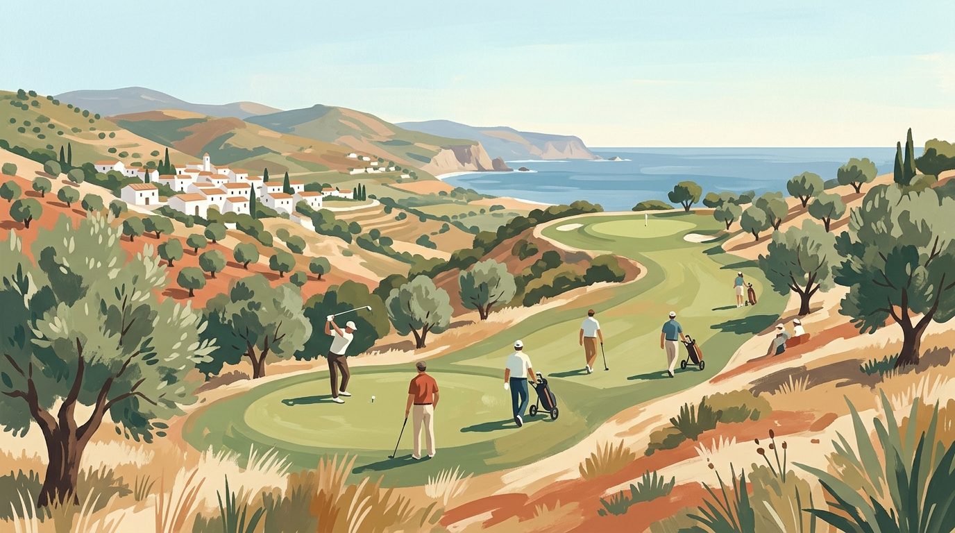
Golf in Jaén Province: A Practical Guide to Courses, Clubs, and Holidays
Discover the reality of playing golf in Jaén. From the 9-hole course at La Garza to local societies and combining rounds with olive oil tourism.
12 min read
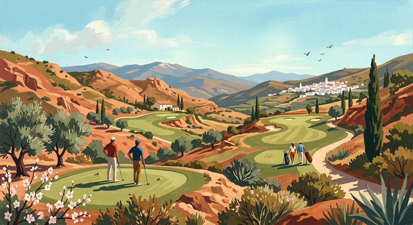
Golf in Córdoba Province: Courses, Holidays, and Shops
Discover practical tips, course details, and holiday planning advice for playing golf in Córdoba province, from the mountain fairways of Sierra Morena to the historic greens of Los Pedroches.
10 min read
The Ultimate Guide to Golf in Cádiz Province
Discover the finest golf courses, resorts, and practical tips for planning your next golf holiday in the province of Cádiz. From championship layouts to essential details on green fees and club hire, everything you need is covered.
11 min read
Golf in Sevilla Province: Courses, Holidays and Local Pro Shops
Swap the crowded coastal fairways for the refined courses of Sevilla province. Discover top layouts designed by golfing legends, local shops, and expert tips for your next trip.
10 min read
A Complete Guide to Golf in Málaga Province
From championship courses in Marbella to practical advice on club rentals and tee times, discover everything you need to know about playing golf in Málaga province.
11 min read
Golf in Granada Province: A Practical Guide to Courses, Holidays and Gear
Plan your perfect golfing trip with our practical guide to Granada's 18-hole courses. Discover green fees, club rental, and the best locations for a golf holiday.
12 min read
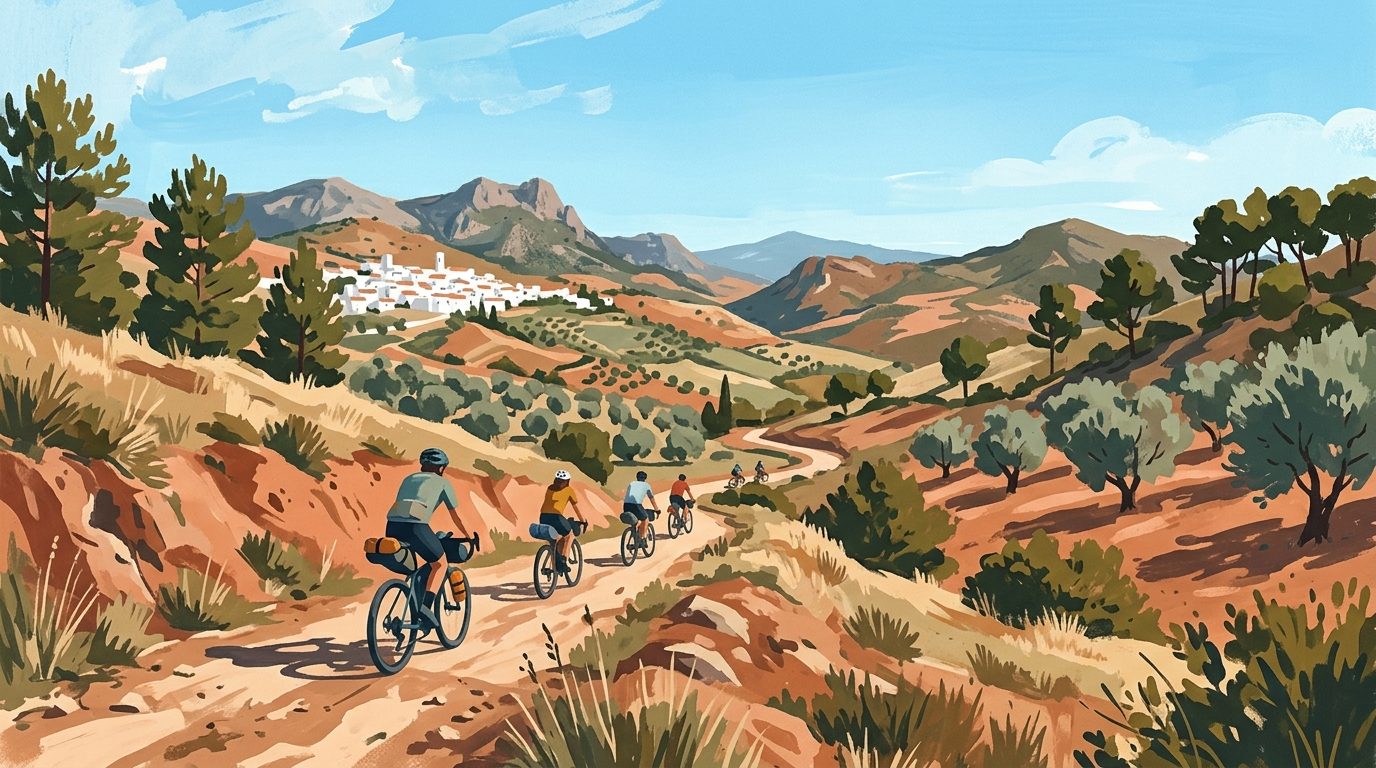
Bikepacking in Andalucía: A Complete Guide to Two-Wheeled Adventures
Discover how to plan the ultimate bikepacking adventure in southern Spain. Our guide covers route planning, essential gear, weather windows, and tips for navigating wild terrain.
13 min read
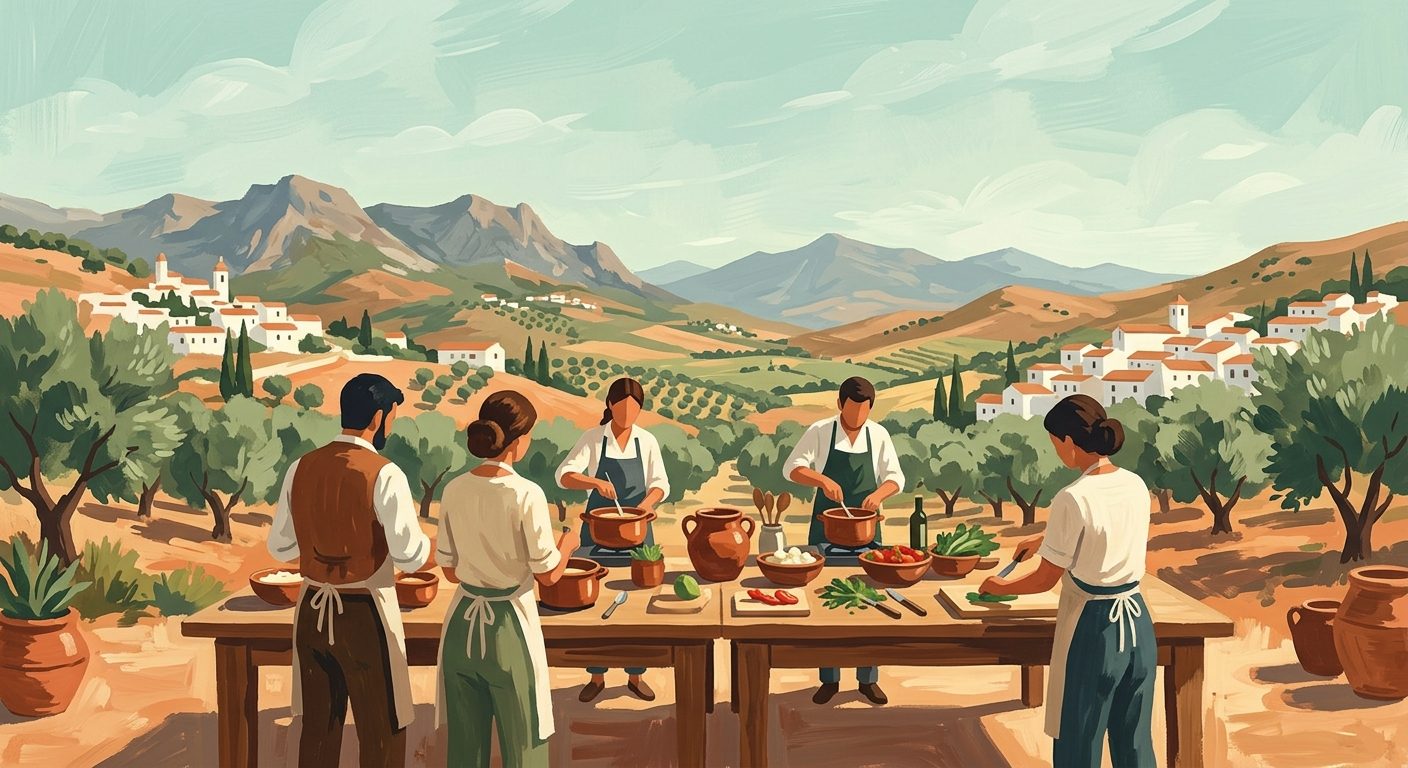
Hands-on Gastronomy: The Best Cooking Classes in Andalucía
Discover the art of Andalucían cuisine through hands-on workshops, from Triana's market-based schools to specialist Sherry cooking classes in Vejer.
6 min read
Newsletter
More stories from Andalucía
Weekly notes, seasonal picks, and the next guides worth bookmarking.