Things to do · Cádiz
Hiking and Walking in Cádiz: From Atlantic Cliffs to Mountain Peaks
Discover the diverse landscapes of Cádiz, from the high-altitude Spanish Fir forests of Grazalema to the dramatic coastal cliffs of Barbate.
By Dan · Updated 16 July 2026 · 6 min read
Cádiz offers a stark contrast between rugged limestone peaks and Atlantic coastal paths. From the rare fir forests of Grazalema to the salt marshes of the bay, walking here reveals a landscape far removed from the crowded beaches.
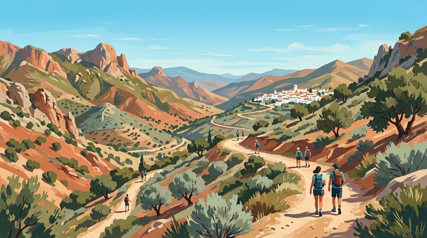
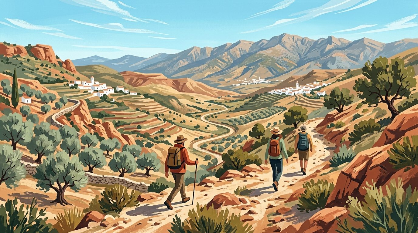
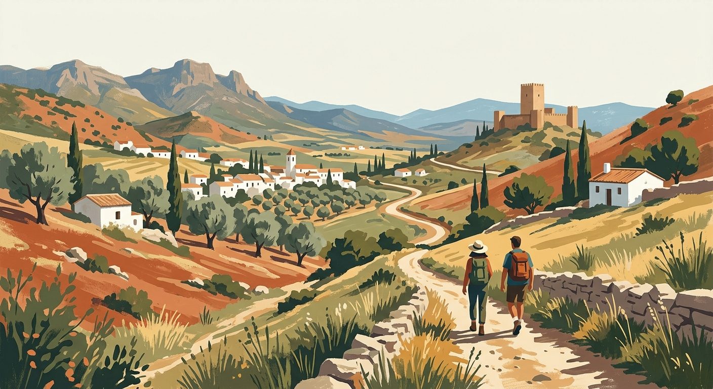
When most people think of Cádiz, they picture the endless white sands of the Costa de la Luz or the ancient watchtowers of the provincial capital. However, for those willing to lace up their walking boots, this corner of Andalucía provides some of the most varied terrain in Southern Europe. The province contains a remarkable geographical diversity, ranging from the high-altitude, rain-drenched peaks of the Sierra de Grazalema to the cork-oak jungles of Los Alcornocales and the dramatic cliffs that overlook the Strait of Gibraltar.
The walking culture here is deeply rooted in the landscape. Traditional cattle tracks (cañadas reales) still criss-cross the countryside, while modern efforts have transformed disused railway lines into accessible greenways. The trails of Cádiz offer an authentic connection to the land for anyone seeking a challenging ascent through limestone crags or a gentle stroll along the Atlantic shoreline.You will find that the interior of the province remains remarkably quiet, often shared only with the local Retinto cattle and the griffon vultures circling overhead. This guide explores the essential routes and regions that make Cádiz a premier destination for walkers and hikers alike.
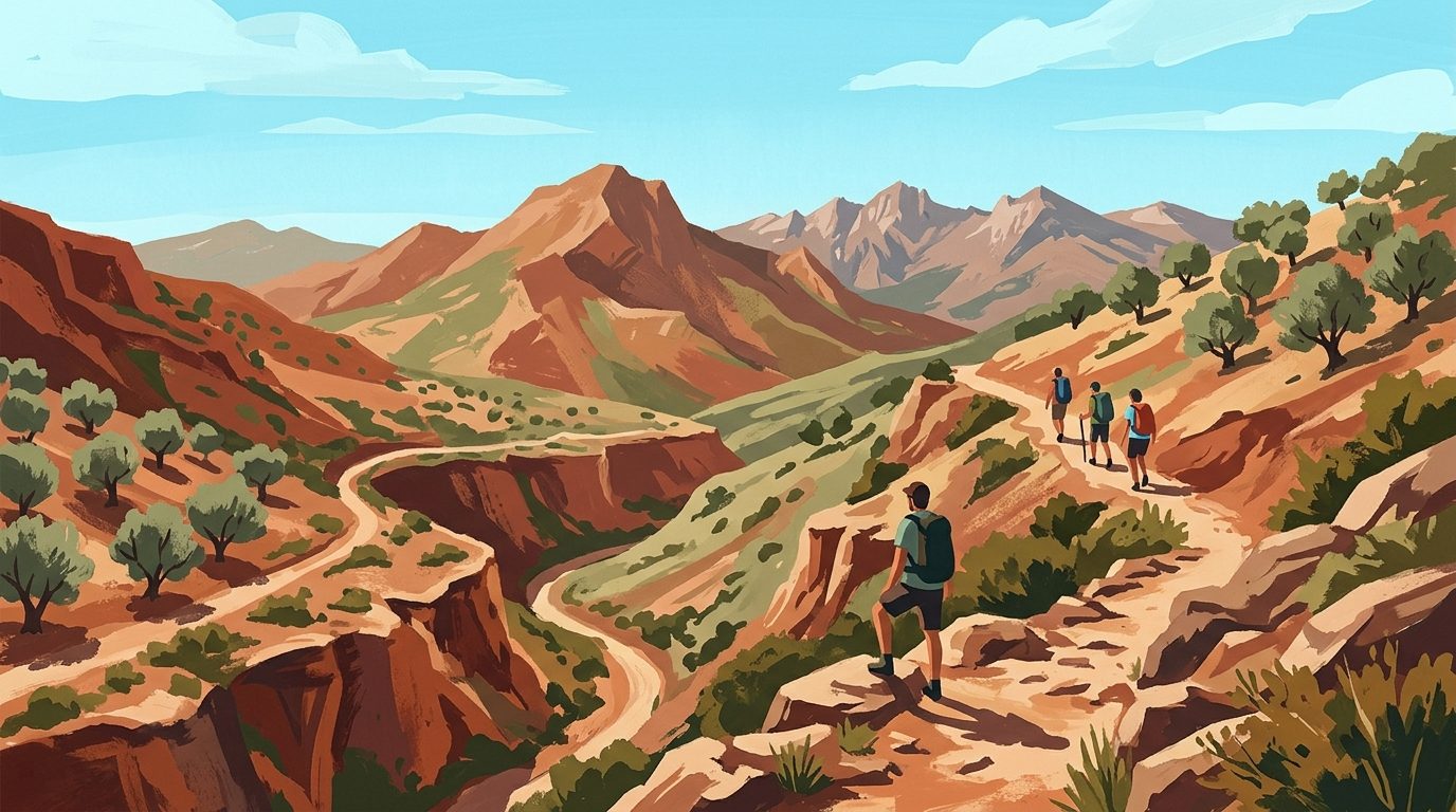
The Sierra de Grazalema: High-Altitude Drama
The Sierra de Grazalema was the first natural park established in Andalucía, and for good reason. It is a limestone massif that catches the first Atlantic rains, making it the wettest place in Spain. This unique microclimate supports flora found nowhere else on earth. The white villages of Grazalema, Zahara de la Sierra, and El Bosque serve as the primary gateways for these mountain trails.
El Pinsapar (The Spanish Fir Forest)
This is arguably the most famous hike in the province. The trail takes you through a forest of Pinsapos (Spanish Firs), a rare species that survived the last ice age. The walk starts near the village of Grazalema and climbs steadily to the Puerto de las Presillas, offering views across the entire mountain range before descending into the dense, shaded fir forest.
Note that this trail requires a permit from the Ministry of Environment (Junta de Andalucía). You can obtain these at the El Bosque visitor centre, via email, or through the official Ventana del Visitante online booking portal. During the summer months (June to October), access is often restricted to guided groups only due to the high risk of forest fires.
Garganta Verde
If you prefer dramatic verticality, the Garganta Verde is essential. This deep canyon has been carved by the Arroyo de Bocaleones over millennia. The trail descends sharply into the gorge, where the limestone walls rise 400 metres above you. It is home to one of the largest colonies of griffon vultures in Europe. At the bottom, you will find the Cueva de la Ermita, a massive natural cavern with pink and green stalactites. This is a strenuous walk and also requires a permit. For those looking for a technical challenge, local operators like Grazalema Guide offer canyoning trips through the wetter sections of the gorge.
Los Alcornocales: The Cork Oak Jungle
Further south lies the Parque Natural de Los Alcornocales, the largest cork oak forest in the Iberian Peninsula. It feels worlds away from the dry heat of the coast. The deep valleys, known as 'canutos', maintain a high humidity and support subtropical ferns that date back to the Tertiary period.
Sendero del Río de la Miel
Located near Algeciras, this walk follows the 'Honey River'. It is a relatively easy linear path that takes you past ruins of water mills and a medieval stone bridge. The highlight is the waterfall at the end, surrounded by lush vegetation that feels more like a tropical rainforest than Southern Spain. It is a perfect choice for a hot day as the canopy provides ample shade.
La Calzada de los Gigantes
This route near the town of Castellar de la Frontera takes you through ancient cork forests where you can see the trunks of trees stripped of their bark. The 'sacas de corcho' (cork harvests) still take place every nine years using traditional methods and mules. The terrain here is rolling rather than steep, making it accessible for most fitness levels.
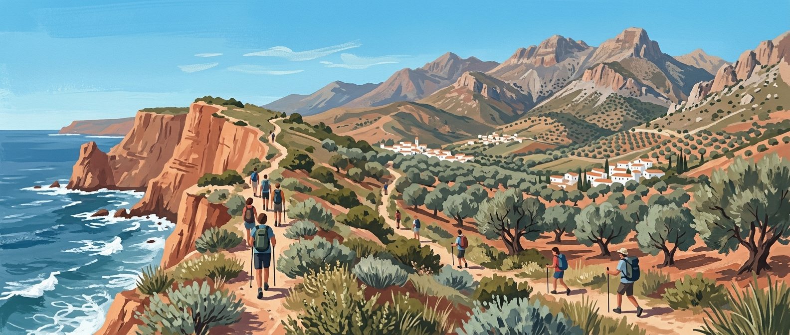
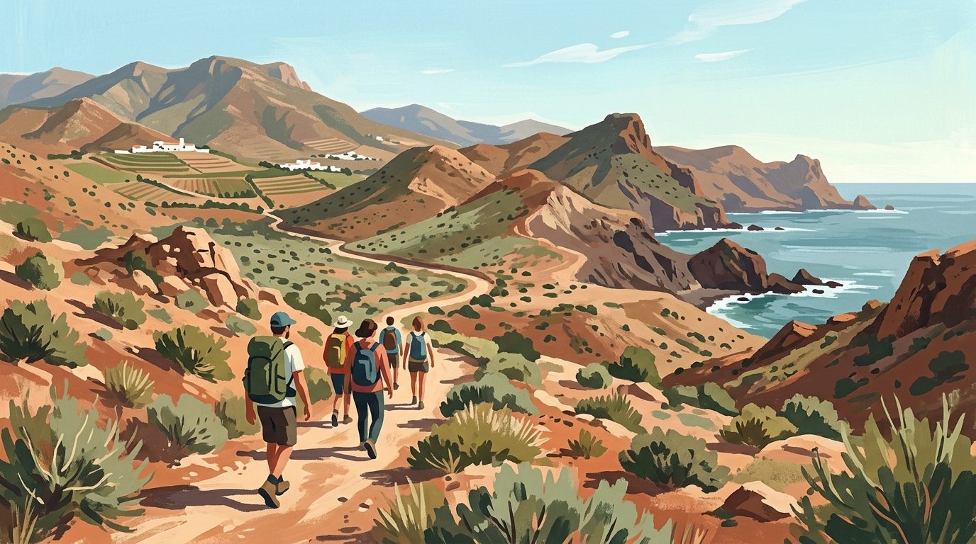
Coastal Cliff Walks: The Atlantic Edge
The coastline of Cádiz is not just about sandy beaches; it features some of the most impressive maritime cliffs in Andalucía, particularly within the La Breña y Marismas del Barbate Natural Park.
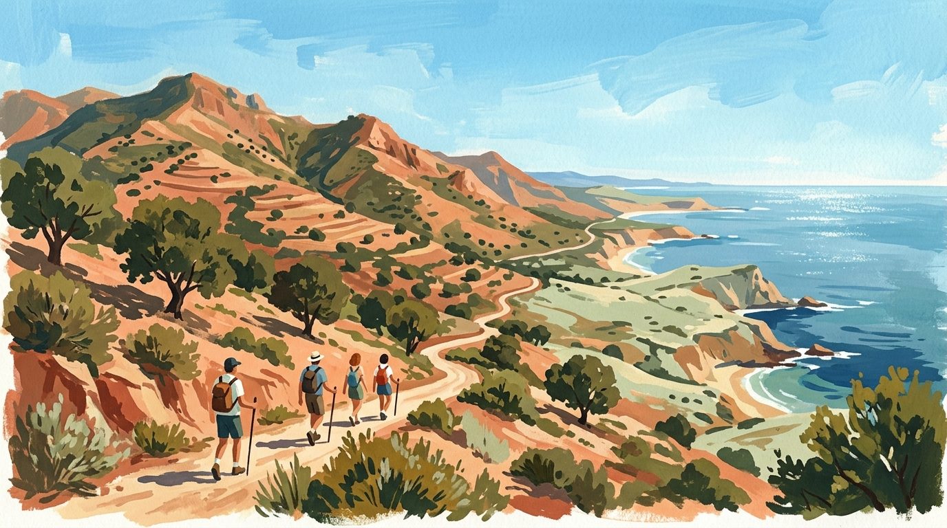
Sendero del Acantilado (Barbate to Caños de Meca)
This 7-kilometre linear trail runs along the top of cliffs that rise 100 metres above the Atlantic. Starting at the harbour in Barbate, the path winds through a fragrant forest of stone pines before reaching the Torre del Tajo, a 16th-century watchtower. The views across the Strait to the African coast are spectacular on clear days. The path is well-marked and relatively flat, though it can be buffeted by the strong Levante wind.
Punta del Boquerón
In San Fernando, near the city of Cádiz, this trail offers a completely different experience. It is a walk across the dunes and salt marshes (salinas). You will pass the ruins of the Urrutia battery, which played a role in the defence of Cádiz during the Napoleonic wars. It is an excellent spot for birdwatching, with flamingos frequently seen in the marshlands.
The Vía Verde de la Sierra
For those who prefer a solid surface and gentle gradients, the Vía Verde de la Sierra is an award-winning rail-trail that follows an unfinished railway line between Olvera and Puerto Serrano. At 36 kilometres, it is popular with both walkers and cyclists. The route takes you through 30 tunnels and over four viaducts. A major highlight is the Peñón de Zaframagón, a massive limestone outcrop that hosts a major vulture colony. The visitor centre there has a live camera feed of the nests.
Practical Information
Hiking in Cádiz is generally free, but the permit system for certain areas in Grazalema is strictly enforced. Permits are free and can be requested via email (cvelbosque@reservatuvisita.es), at the El Bosque Visitor Centre, or via the official Ventana del Visitante booking portal. Most trails are well-signposted with the official 'Senderos de Andalucía' markers (white and yellow for short distance, white and red for long distance).
The best season for walking is from October to May. Since we are currently in the summer restriction period (June to October), be aware that conditions are extremely hot and many mountain trails are closed to the public or require a guide to prevent fires. If you walk during these months, stick to the coastal paths and start at sunrise. Essential gear includes sturdy hiking boots (the limestone in Grazalema is sharp), a hat, and significantly more water than you think you will need (natural springs are rare and often dry up in late spring).
Local Tips
Pay close attention to the wind forecast before heading to the coast. The Levante (east wind) can be exceptionally strong, making cliff-top walking unpleasant and even dangerous. If the Levante is blowing, head inland to the sheltered cork forests of Los Alcornocales. After a hike in the Sierra de Grazalema, stop at a local 'venta' to try the Payoyo cheese, a prize-winning local variety made from the milk of the indigenous Payoya goat. Lastly, always carry a physical map; while mobile signal is generally good, the deep canyons of Grazalema can create dead zones.
Last reviewed: 21 June 2026 · Editorial policy
Related guides
Exploring the Trails: A Guide to Hiking and Walking in Málaga
Discover the rugged interior of Málaga through its diverse walking trails, from the spectacular Caminito del Rey to the prehistoric limestone peaks of El Torcal.
7 min read
A Guide to Hiking and Walking in Andalucía
Discover the best hiking trails in Andalucía, from the high peaks of the Sierra Nevada to the volcanic coast of Cabo de Gata and the lush forests of Grazalema.
7 min read
Hiking and Walking in Granada: From High Peaks to Gorge Trails
From the high-altitude peaks of the Sierra Nevada to the terraced valleys of the Alpujarras, Granada offers some of the most varied walking terrain in southern Spain.
6 min read
Exploring the Trails: A Guide to Hiking and Walking in Sevilla
Sevilla province offers a diverse range of walking landscapes, from the dramatic karst formations of the north to the tranquil riverside paths of the Guadalquivir.
5 min read
Hiking and Walking in Almería: Deserts, Volcanic Coasts and High Sierras
Discover the raw beauty of Almería’s diverse landscapes, from the volcanic cliffs of Cabo de Gata to the rugged badlands of the Tabernas Desert.
6 min read
Hiking and Walking in Huelva: Trails from the Mountains to the Atlantic
Huelva offers a remarkable variety of terrain, from the dense chestnut forests of the Sierra de Aracena to the salt marshes of the Atlantic coast. It remains one of the least developed provinces for walking, providing quiet trails and authentic mountain villages.
6 min read
More from Cádiz
The Ultimate Guide to Golf in Cádiz Province
Discover the finest golf courses, resorts, and practical tips for planning your next golf holiday in the province of Cádiz. From championship layouts to essential details on green fees and club hire, everything you need is covered.
11 min read
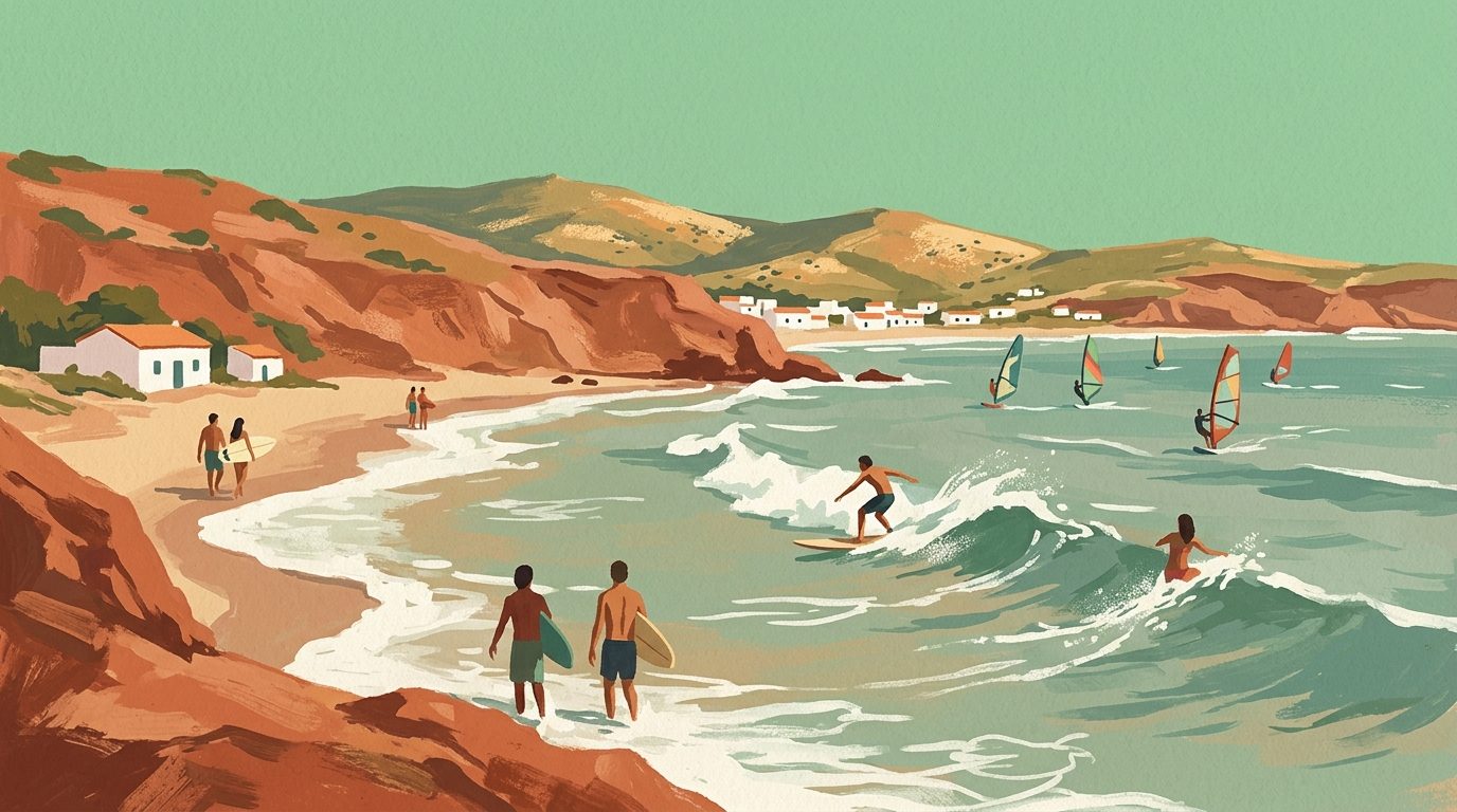
Riding the Atlantic: A Guide to Water Sports in Cádiz
Discover the best kitesurfing, surfing, and whale watching across the province of Cádiz, from the wind-whipped shores of Tarifa to the Atlantic rollers of El Palmar.
6 min read
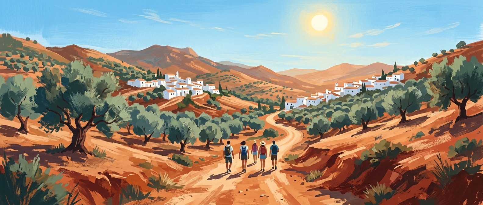
Discover the Enchanting Pueblos Blancos: Andalucía's Whitewashed Gems Await
Journey through Andalucía's iconic Pueblos Blancos, where historic whitewashed villages cling to dramatic hillsides, offering wide views and authentic Spanish charm.
5 min read
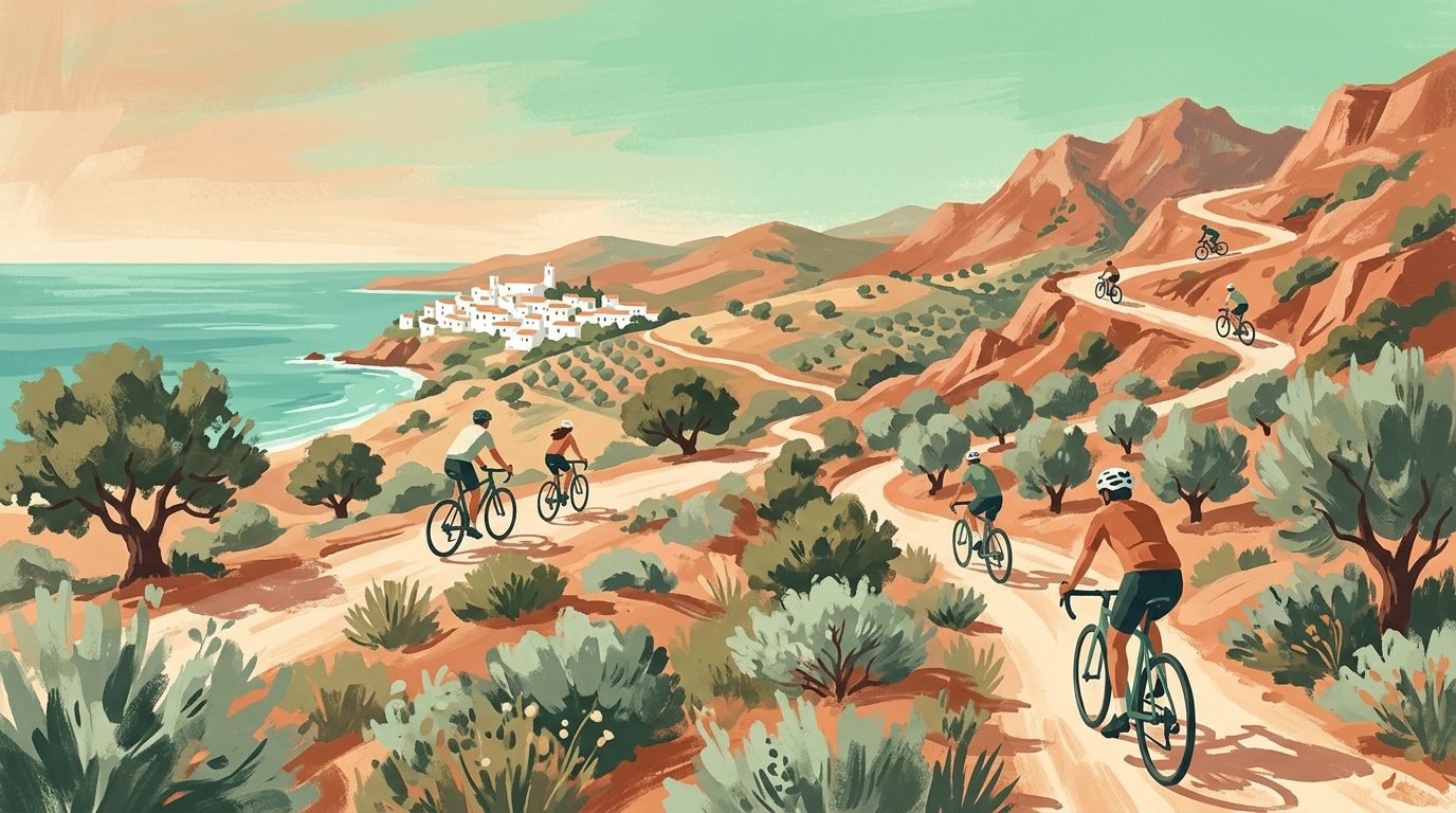
Cycling in Cádiz: A Guide to the Best Coastal and Mountain Routes
From the family-friendly Vía Verde de la Sierra to the challenging climbs of the Grazalema mountains, Cádiz province is a premier destination for cyclists of all levels.
6 min read
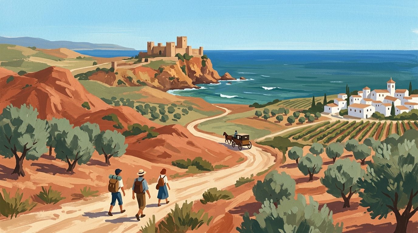
Day Trips from Cádiz: Coastal Castles and Sherry Cities
Discover the best day trips from Cádiz, featuring world-class sherry bodegas in Jerez, the hilltop beauty of Vejer, and the ancient Roman ruins of Bolonia.
7 min read
Newsletter
More stories from Andalucía
Weekly notes, seasonal picks, and the next guides worth bookmarking.