Things to do · Málaga
Exploring the Trails: A Guide to Hiking and Walking in Málaga
Discover the rugged interior of Málaga through its diverse walking trails, from the spectacular Caminito del Rey to the prehistoric limestone peaks of El Torcal.
By Dan · Updated 16 July 2026 · 7 min read
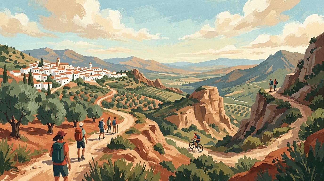
Málaga offers far more than just sun-loungers and sardines; its interior is a rugged landscape of limestone peaks and river valleys. From the dizzying heights of the Caminito del Rey to the karst formations of El Torcal, walking here reveals the true character of southern Spain.
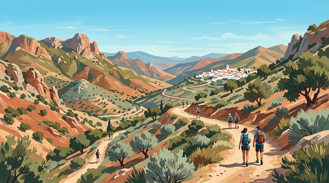
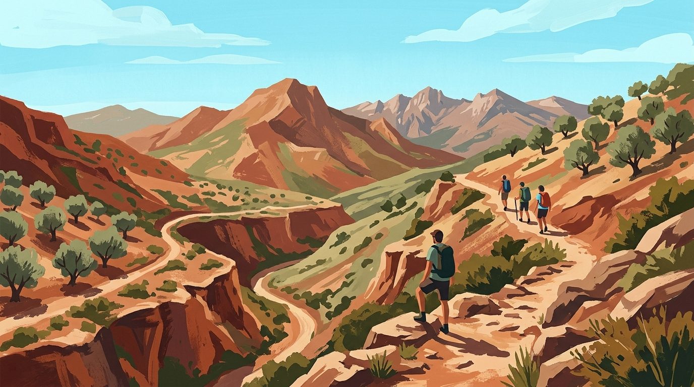
While the coast of Málaga is famous for its beaches, the province is actually one of the most mountainous regions in Spain. The terrain here is defined by the Penibaetic System, a series of mountain ranges that rise sharply from the Mediterranean. This geography creates a playground for walkers and hikers, offering everything from gentle coastal strolls to demanding alpine ascents. The province has the marked trails and varied microclimates for a casual Sunday walk with a mountain lunch or a multi-day trek through whitewashed villages.
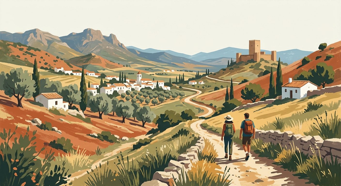
Hiking in Málaga is as much about the culture as it is about the exercise. You will find yourself walking along ancient cattle tracks (vías pecuarias), Roman roads, and irrigation channels built during the Moorish era. The landscape shifts rapidly from the salty air of the coast to the scent of pine forests and the sharp, clean air of the high limestone peaks. For those based in the city or the coastal resorts, many of these trails are accessible within an hour’s drive, making it remarkably easy to swap the beach for the mountains in a single afternoon. Here are the most rewarding routes and practical considerations for exploring the outdoors in this part of Andalucía.
Best Places for Hiking in Málaga
The Caminito del Rey (El Chorro)
Once known as one of the world’s most dangerous paths, the Caminito del Rey has been completely refurbished and is now a safe, though exhilarating, linear walk. Suspended 100 metres up the side of the Gaitanes Gorge, the wooden boardwalks offer a bird's-eye view of the Guadalhorce River below. The route is approximately 7.7 kilometres long and takes about three to four hours to complete. It is a one-way walk, so you will need to use the shuttle bus that runs between the northern access (Ardales) and the southern exit (El Chorro).
Tickets are mandatory and often sell out weeks in advance, especially for weekend slots. You can opt for a general entry ticket or a guided tour which provides more context on the engineering history of the path and the geology of the canyon. If you have vertigo, the suspension bridge at the end might be a challenge, but the path itself is sturdy and fenced.
El Torcal de Antequera
Located about an hour north of Málaga city, El Torcal is a landscape of surreal limestone karst formations that have been eroded over millions of years. It feels like walking through a prehistoric stone forest. There are three main routes: the Green, Yellow, and Orange. The Green route is the shortest at 1.5 kilometres and is very manageable for families. The Yellow route (3 kilometres) takes you deeper into the "sculptures" of rock, where you are likely to spot Iberian Ibex grazing on the sparse vegetation.
The visitor centre at the top provides excellent maps and a small museum. Because of its altitude (around 1,200 metres), El Torcal is often significantly cooler than the coast and can be shrouded in mist even when the sun is shining in Antequera. Sturdy boots are essential here as the limestone can be sharp and uneven.
Sierra de las Nieves National Park
Recently designated as Spain’s sixteenth National Park, the Sierra de las Nieves is the crown of Málaga’s natural spaces. This area is home to the rare Spanish Fir (pinsapo), a prehistoric tree species that survived the last ice age. The park offers some of the most challenging hiking in the province, including the ascent of Pico Torrecilla, which stands at 1,919 metres. Starting from the Los Quejigales recreation area, the hike to the summit is a demanding 15-kilometre round trip with significant elevation gain.
For something less strenuous, the walk from Yunquera through the pinsapo forests provides stunning views without the need for technical climbing. The park is less developed for tourism than the Caminito, offering a more authentic and quiet experience of the Andalucían wilderness. In winter, as the name suggests, the peaks are frequently covered in snow.
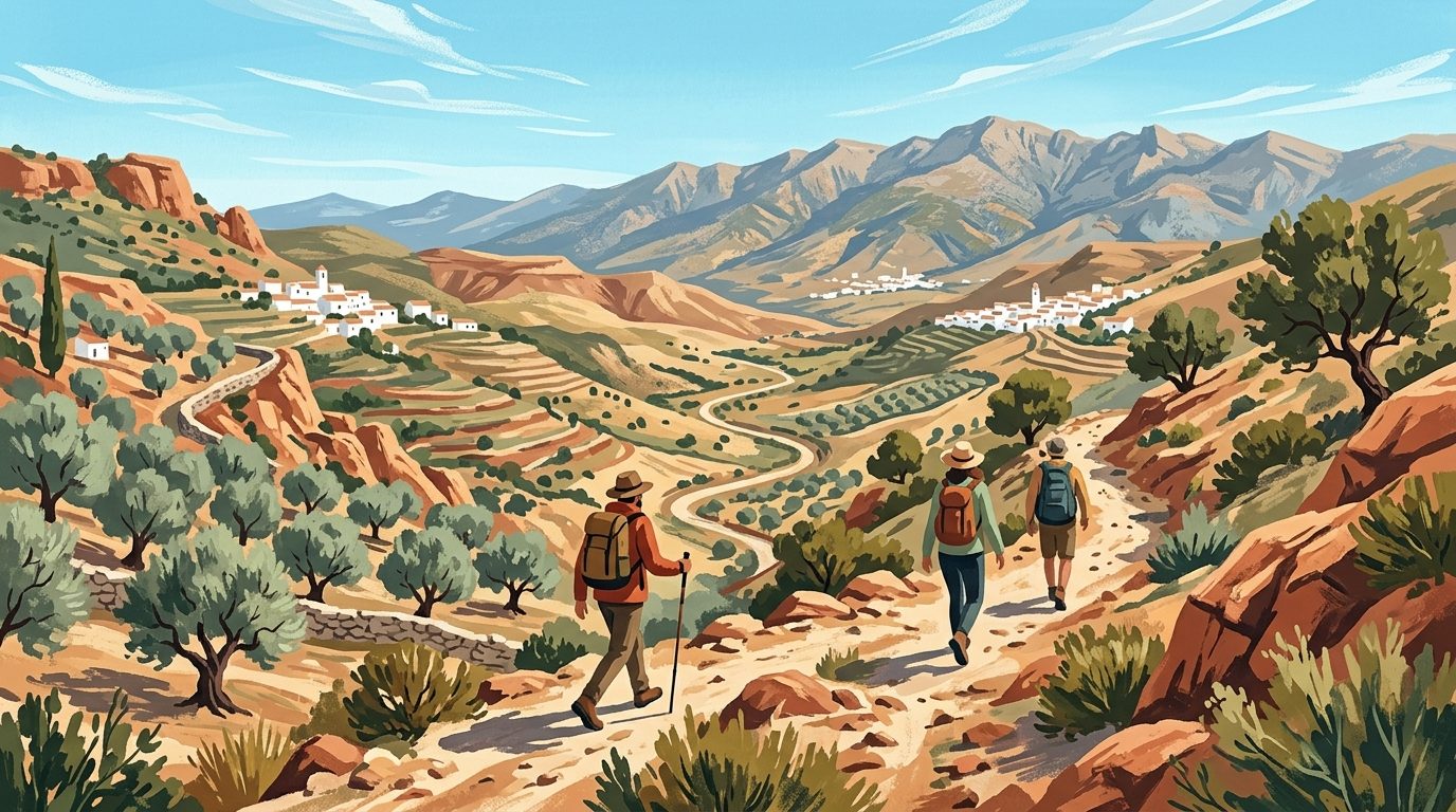
The Great Málaga Path (GR-249)
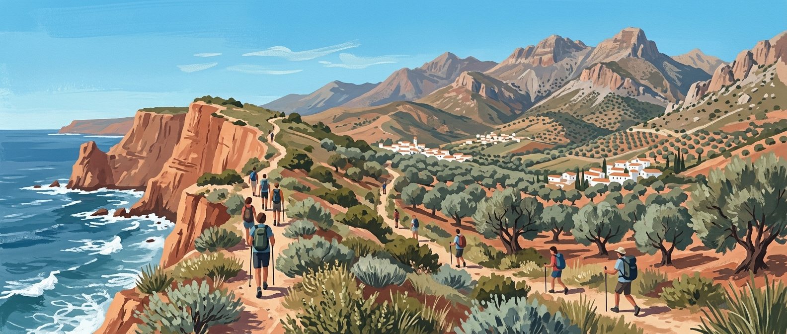
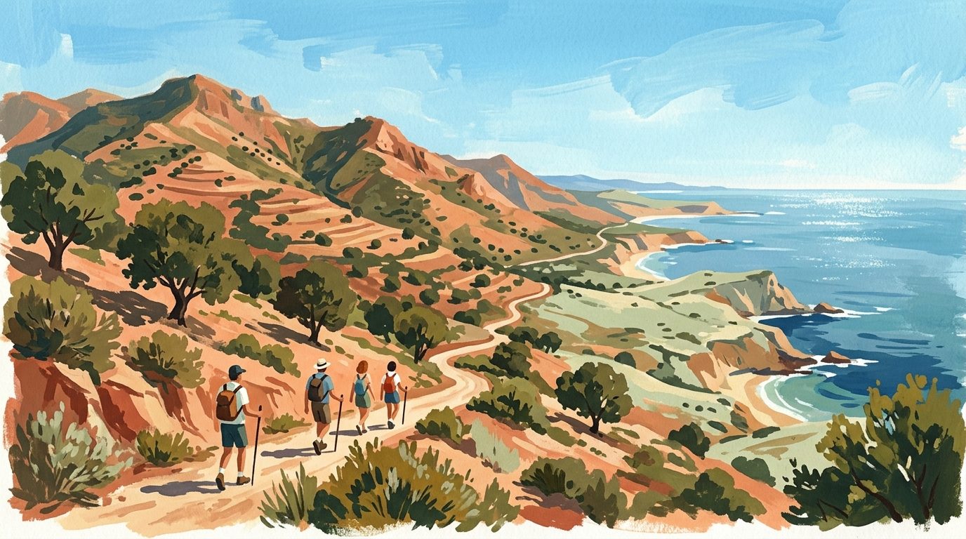
The Gran Senda de Málaga is a massive 650-kilometre circular route that rings the entire province. It is divided into 35 stages, allowing hikers to pick and choose sections based on their ability. Stage 1 starts right in the centre of Málaga city, heading east towards Rincón de la Victoria along the coast. For more dramatic scenery, Stage 5 from Nerja to Frigiliana takes you through the foothills of the Sierra de Almijara, offering views of the sea and the white mountains simultaneously.
The path is exceptionally well-signposted with red and white markers. It connects many of the "pueblos blancos" (white villages), which means you can plan your day around ending at a local tapas bar. The official website for the Gran Senda provides downloadable GPS tracks and detailed descriptions for each stage, which is invaluable for planning transport and water stops.
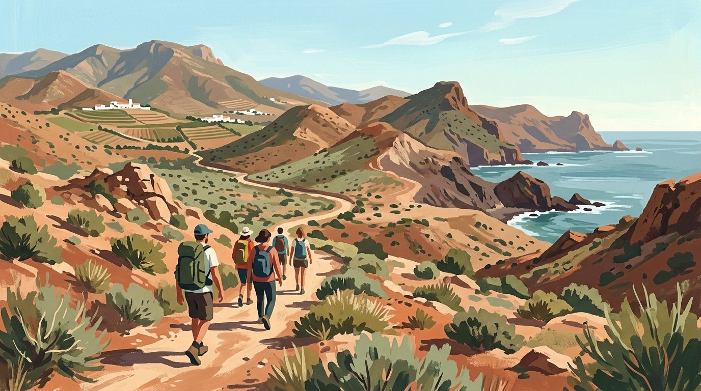
Rio Chillar (Nerja)
The Rio Chillar walk is a classic summer activity where the riverbed itself is the trail. You spend much of the time walking through ankle-to-knee-deep water, which is the only way to stay cool in the July heat. The route takes you through narrow slot canyons (Los Cahorros) where you can touch both walls at once. The final destination for most is a series of natural rock pools and waterfalls perfect for swimming.
It is important to wear old trainers with a good grip rather than flip-flops or expensive hiking boots that might be ruined by the water. Be aware that this route has become very popular; to avoid the crowds, it is best to start before 9:00 AM. Also, check local regulations with the Nerja Town Hall (Ayuntamiento) website before heading out; as of 2026, access is frequently restricted or requires a permit during peak months and drought periods to protect the ecosystem.
Montes de Málaga Natural Park
Just a few kilometres north of the city centre, the Montes de Málaga act as the city's green lungs. This is an area of dense Aleppo pine forests and old wine estates. The trails here are mostly wide forest tracks, making them excellent for both walking and mountain biking. The Pocopan trail is a highlight, leading to a lookout point with panoramic views over the city and the Mediterranean.
A local tradition is to hike through the park and finish with a "Plato de los Montes" at one of the many Ventas (roadside inns) along the A-7000 road. This hearty meal usually consists of fried potatoes, eggs, chorizo, morcilla, and green peppers, the perfect refuel after a morning on the trails.
Practical Information
Hiking in Málaga is generally free, with the notable exception of the Caminito del Rey and some organised tours. The best season for walking is from October to May. During the peak summer months (July and August), hiking can be dangerous due to extreme heat and the high risk of forest fires; many forest tracks are actually closed to vehicles and hikers during high-risk periods. If you must walk in summer, start at dawn and finish by 11:00 AM.
Always carry more water than you think you need, as natural springs (fuentes) are rare and often dry up in autumn. Footwear should be broken-in hiking shoes or boots, as the limestone terrain is notoriously abrasive. For navigation, the Wikiloc app is widely used across Spain and contains thousands of recorded trails for Málaga, often with recent comments on trail conditions.
Local Tips
When walking in the mountains, you might encounter large flocks of sheep or goats. These are often protected by Mastín dogs. These dogs are working animals, not pets; stay calm, keep your own dogs on a lead, and walk in a wide circle around the flock. Another tip is to learn the local word for a trail shortcut: "atajo". Many older locals still use these steep, direct paths instead of the winding forest tracks. Finally, always check the weather forecast for "Levante" or "Poniente" winds, as high winds on the ridges can make certain coastal hikes quite unpleasant.
Last reviewed: 21 June 2026 · Editorial policy
Related guides
A Guide to Hiking and Walking in Andalucía
Discover the best hiking trails in Andalucía, from the high peaks of the Sierra Nevada to the volcanic coast of Cabo de Gata and the lush forests of Grazalema.
7 min read
Hiking and Walking in Cádiz: From Atlantic Cliffs to Mountain Peaks
Discover the diverse landscapes of Cádiz, from the high-altitude Spanish Fir forests of Grazalema to the dramatic coastal cliffs of Barbate.
6 min read
Hiking and Walking in Granada: From High Peaks to Gorge Trails
From the high-altitude peaks of the Sierra Nevada to the terraced valleys of the Alpujarras, Granada offers some of the most varied walking terrain in southern Spain.
6 min read
Exploring the Trails: A Guide to Hiking and Walking in Sevilla
Sevilla province offers a diverse range of walking landscapes, from the dramatic karst formations of the north to the tranquil riverside paths of the Guadalquivir.
5 min read
Hiking and Walking in Almería: Deserts, Volcanic Coasts and High Sierras
Discover the raw beauty of Almería’s diverse landscapes, from the volcanic cliffs of Cabo de Gata to the rugged badlands of the Tabernas Desert.
6 min read
Hiking and Walking in Huelva: Trails from the Mountains to the Atlantic
Huelva offers a remarkable variety of terrain, from the dense chestnut forests of the Sierra de Aracena to the salt marshes of the Atlantic coast. It remains one of the least developed provinces for walking, providing quiet trails and authentic mountain villages.
6 min read
More from Málaga
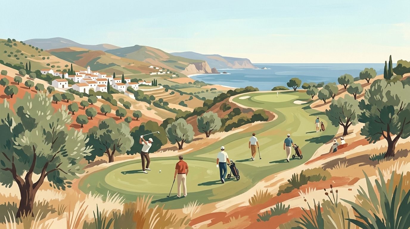
A Complete Guide to Golf in Málaga Province
From championship courses in Marbella to practical advice on club rentals and tee times, discover everything you need to know about playing golf in Málaga province.
11 min read
Beyond the Coast: Essential Day Trips from Málaga
Discover the best day trips from Málaga, featuring the clifftop views of Ronda, the suspension bridges of Caminito del Rey, and the ancient dolmens of Antequera.
6 min read
Andalucía's Dazzling White Villages: A Journey Through Cádiz and Málaga
Discover the enchanting White Villages of Andalucía, from the dramatic clifftop settings of Cádiz to the charming hillside gems of Málaga. Explore timeless traditions, long history, and dramatic landscapes.
6 min read
A Guide to Cycling in Málaga: From Coastal Paths to Mountain Peaks
Discover the best of cycling in Málaga, from the gentle coastal Senda Litoral to the challenging peaks of the Montes de Málaga and the rugged Axarquía hills.
6 min read
A Guide to Water Sports in Málaga: From SUP to Scuba
Discover the best locations for stand-up paddleboarding, diving, and jet skiing along the Costa del Sol with our practical guide to Málaga's water sports.
6 min read
Newsletter
More stories from Andalucía
Weekly notes, seasonal picks, and the next guides worth bookmarking.