Route
The Complete Caminito del Rey Guide: How to Walk Spain's Most Famous Gorge
Walking the precipitous boardwalks of the Caminito del Rey is a thrilling encounter with sheer limestone cliffs and fascinating engineering heritage. This guide details exactly how to secure tickets, navigate the linear route, and plan your logistics.
By Dan · Updated 7 June 2026 · 10 min read
Walking the precipitous boardwalks of the Caminito del Rey is a thrilling encounter with sheer limestone cliffs and fascinating engineering heritage. This guide details exactly how to secure tickets, navigate the linear route, and plan your logistics to make the most of your time in the spectacular Desfiladero de los Gaitanes.
For decades, the Caminito del Rey held a terrifying reputation across Europe. Pinned precariously to the vertical limestone walls of the Desfiladero de los Gaitanes in Málaga province, the original concrete path had crumbled into a jagged, gap-toothed ledge hovering 100 metres above the rushing Guadalhorce river. Daredevils clipped themselves to rusting wires to cross the terrifying voids, a practice that eventually led to tragic fatalities and the route’s total closure at the turn of the millennium.
Today, the physical reality of the experience is entirely transformed. Reopened in 2015 after an intensive feat of modern engineering, a secure wooden boardwalk now sits just above the remnants of the original death-defying path. You can still see the old decaying concrete beneath your boots, providing a visceral reminder of the gorge’s intimidating scale and past dangers. Yet, despite the solid handrails, the steel safety nets, and the mandatory hard hats handed out at the entrance, stepping out onto the planks still induces a profound rush of adrenaline.
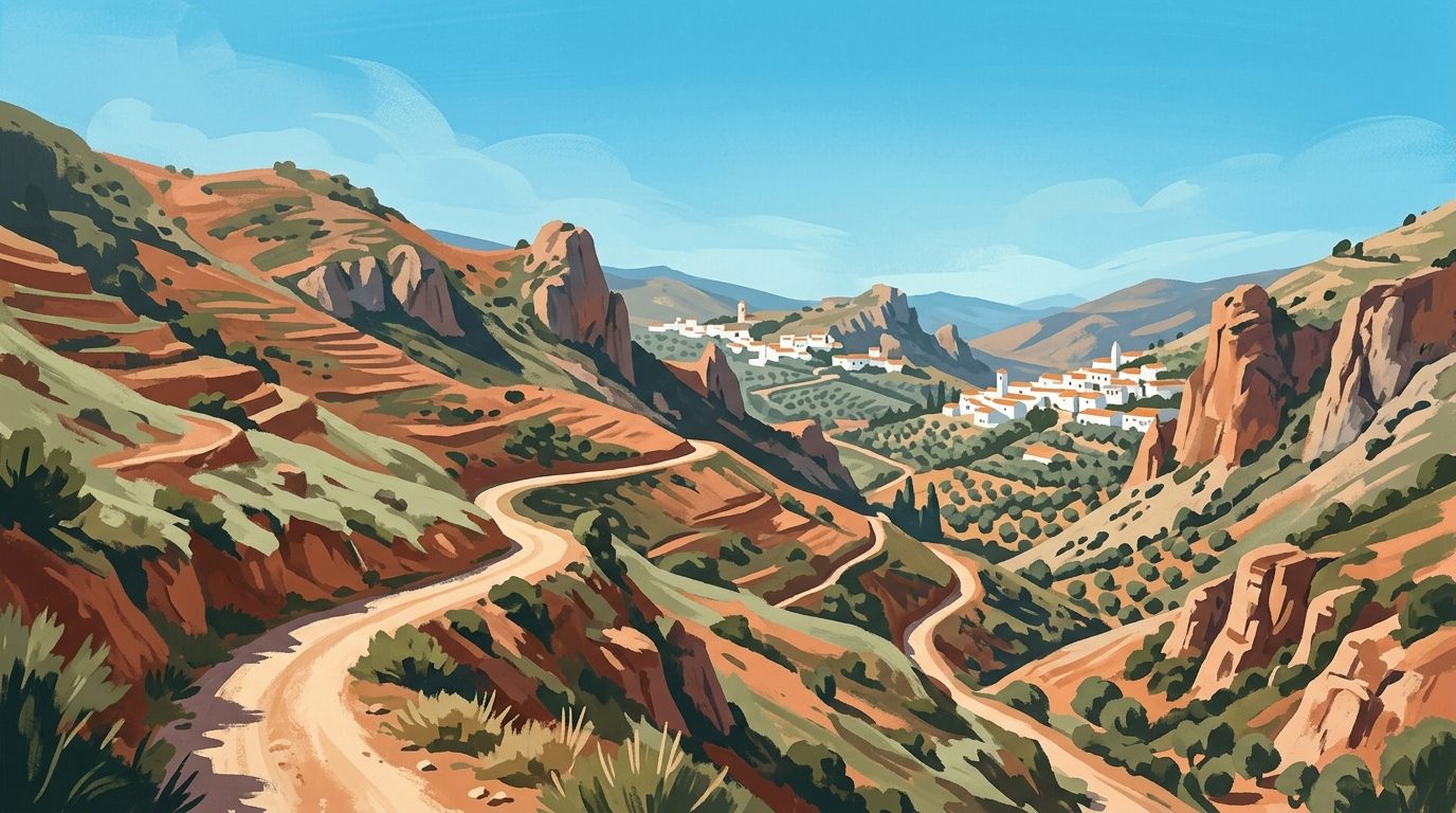
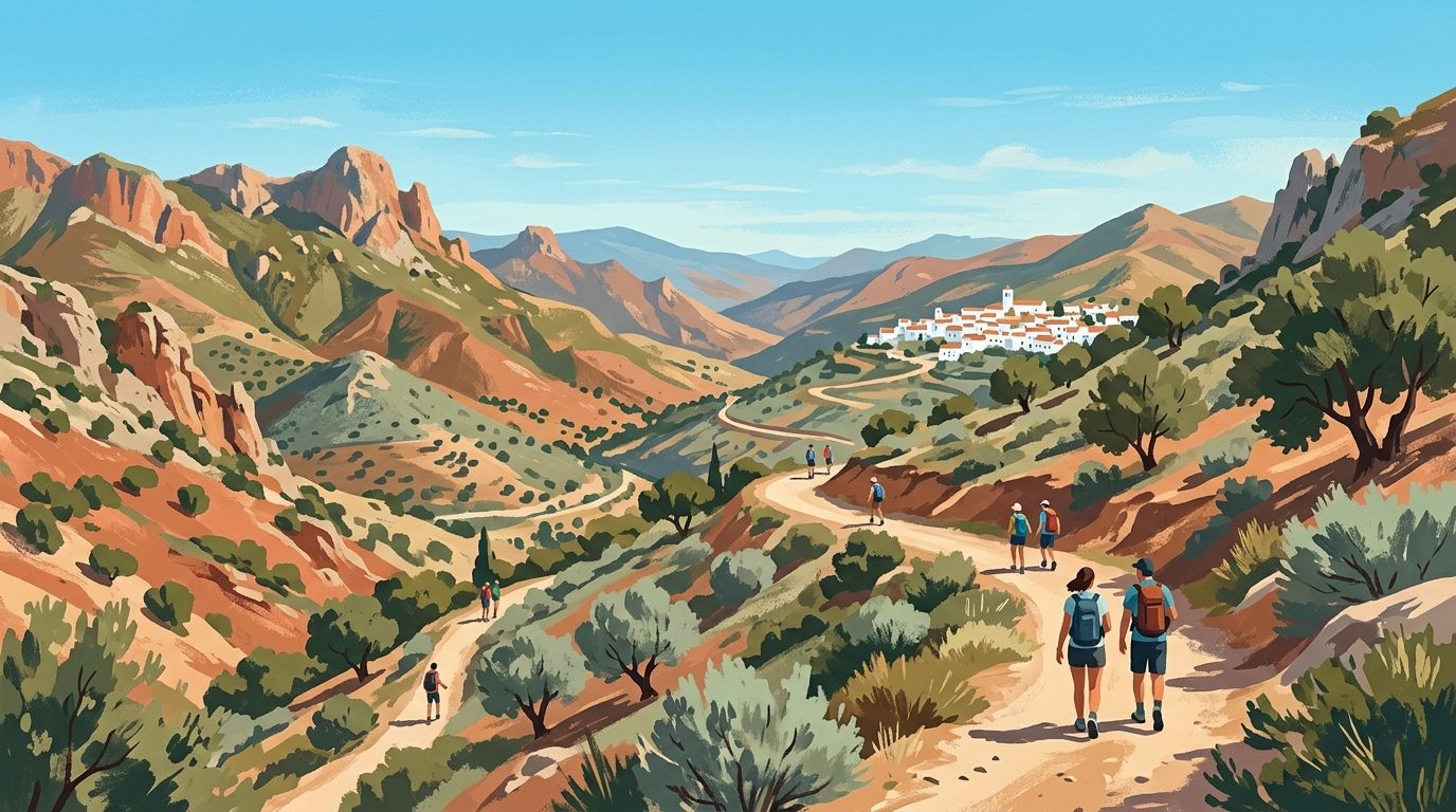
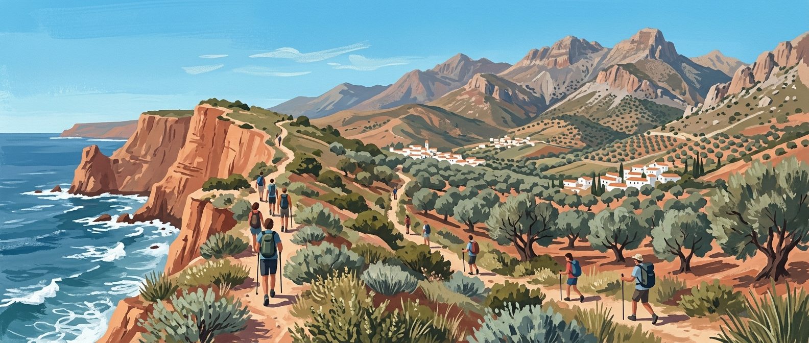
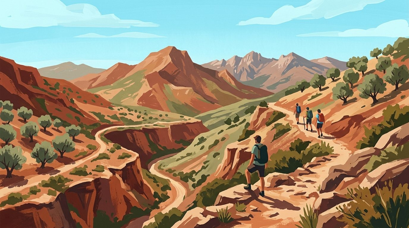
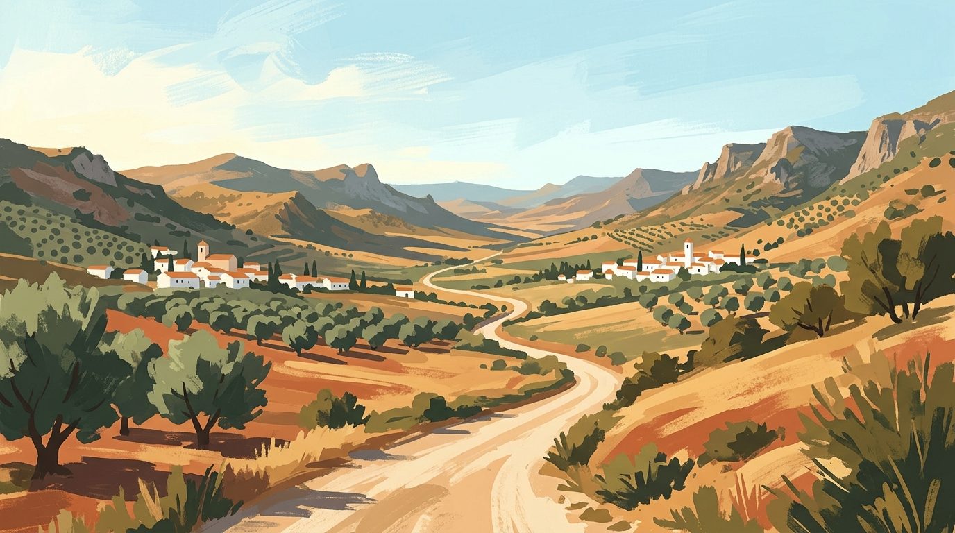
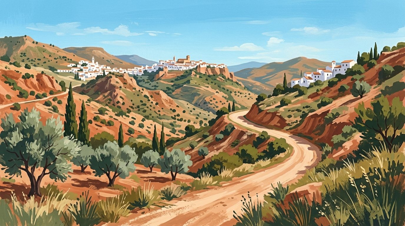
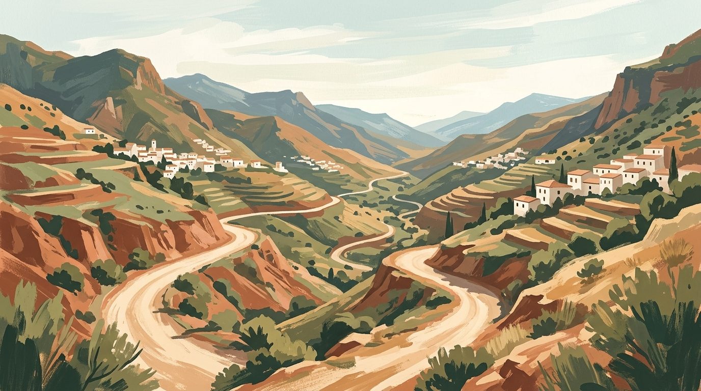
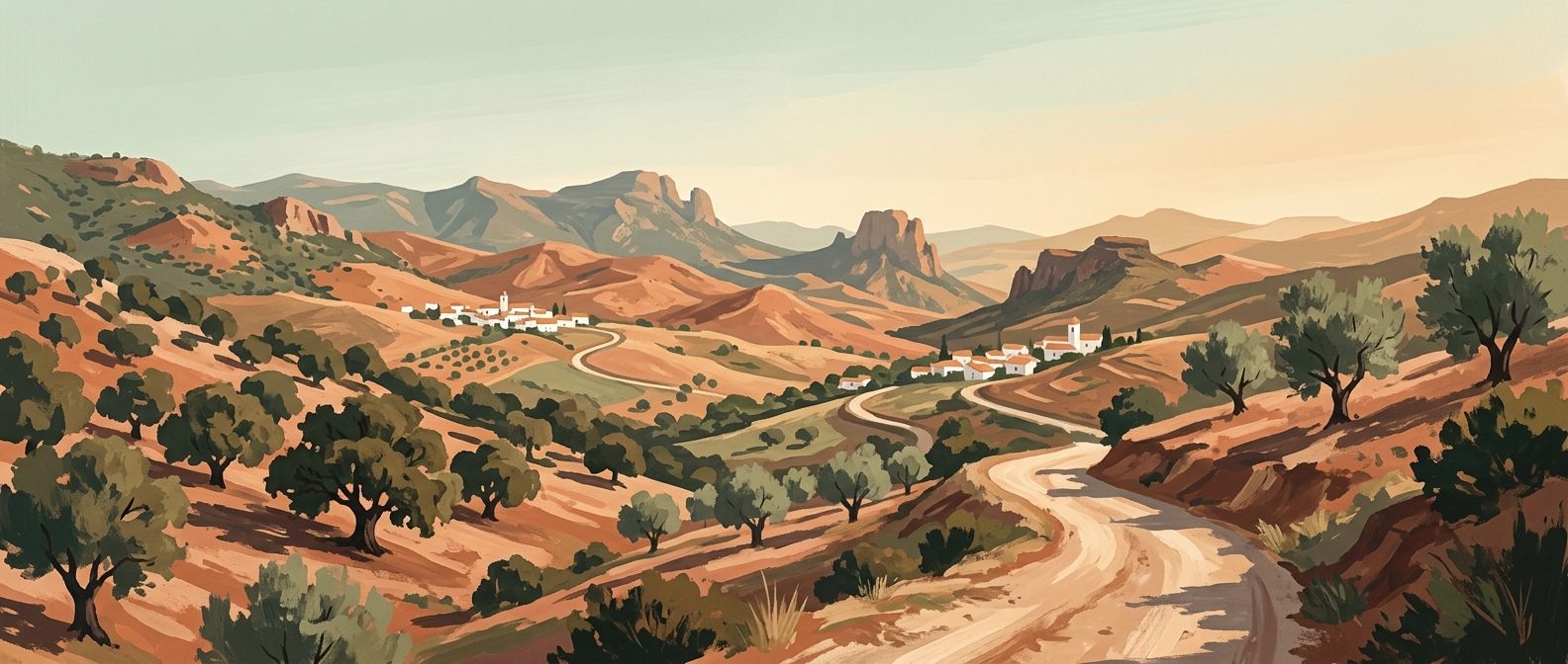
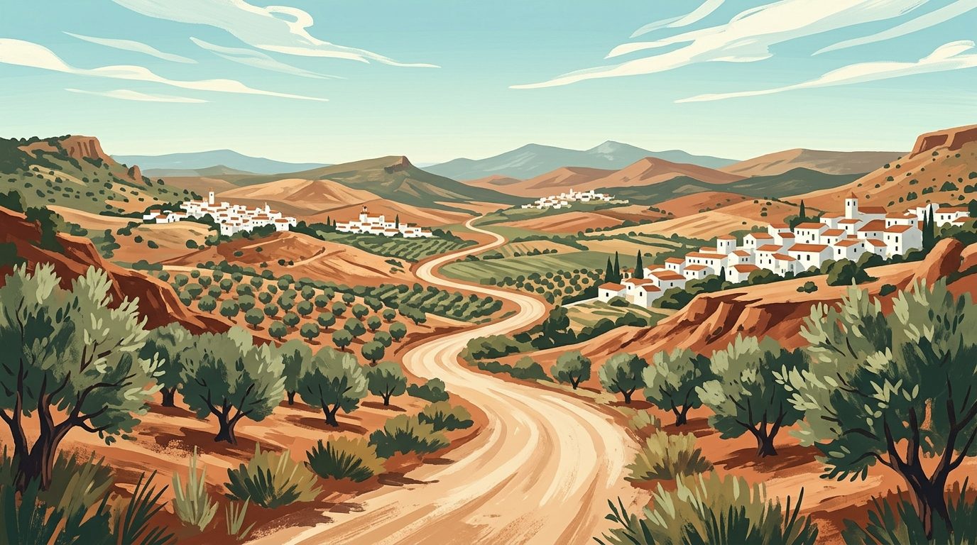
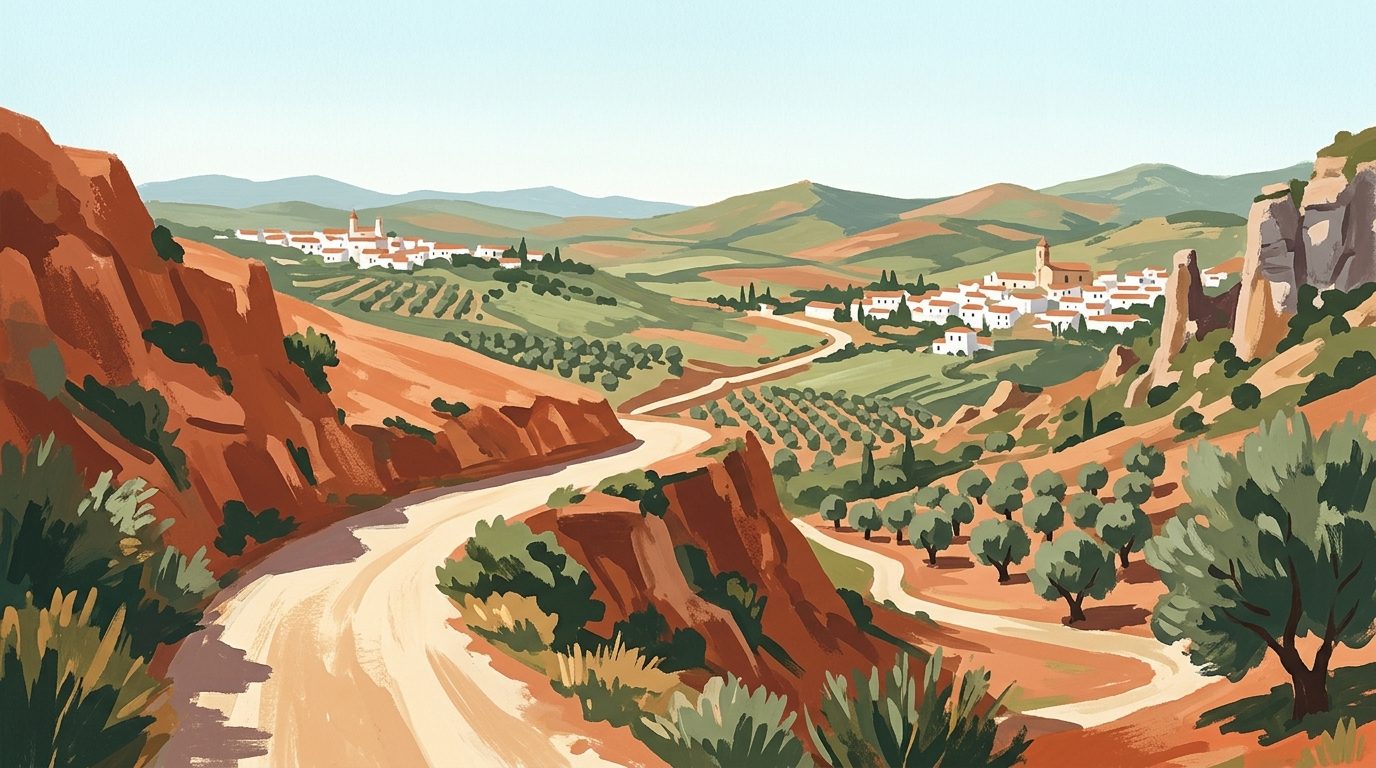
This is not simply a walk; it is an immersive journey through an immense geological fault line. Griffon vultures catch the thermals high above the canyon rim, whilst the river churns violently through the narrow rock passages below. The landscape shifts dramatically from the wide, pine-fringed reservoirs of Ardales in the north to the sheer, sun-baked agricultural valleys of El Chorro in the south.
Walking the Caminito del Rey requires rigorous logistical foresight. Tickets vanish months in advance, parking demands a strategic approach to avoid lengthy delays, and the linear nature of the trail requires careful coordination with local shuttle buses. This guide strips away the confusion, offering a highly specific roadmap to walking the gorge safely, smartly, and on your own terms.
Securing Tickets: The Art of Booking
The single greatest hurdle to walking the Caminito del Rey is obtaining a ticket. To protect the environment and prevent overcrowding, the local authorities strictly cap daily visitor numbers. Consequently, tickets for the general public sell out extremely quickly, often within hours of being released.
Tickets are sold via the official website in seasonal batches, usually three or four months in advance. There are two primary categories: General Entry (you walk the route independently) and Official Guided Tour (you walk with an official group and wear an earpiece to hear the guide). If you are travelling during the peak spring or autumn hiking seasons, you need to monitor the official site constantly and book the moment a new block of dates is published.
If you find that official general admission tickets are sold out for your dates (a highly likely scenario), you have two reliable backup options. The first is to purchase a guided package through a reputable third-party operator. These operators secure bulk allocations in advance and provide transport from Málaga or the coast alongside your entry. Booking a guided excursion ensures your spot and removes the stress of driving the winding inland roads.
The second option is to check the official site for last-minute cancellations, though this is a gamble and not recommended if your itinerary is rigid. Do not attempt to turn up at the gate without a ticket; you will be turned away unequivocally.
Navigating the Access Points: North vs. South
Understanding the layout of the Caminito del Rey is crucial. The route is strictly linear, operating in one direction only: from North to South. You begin your walk in the municipality of Ardales (North access) and finish in the village of El Chorro, part of Álora (South access). A dedicated shuttle bus connects the two points.
Because it is linear, you must make a strategic decision about where to park your car. Many visitors park at the North access near the El Kiosko restaurant, walk the route, and then queue for the shuttle bus at the southern end to return to their vehicle. We highly recommend the opposite approach: The South Parking Strategy.
Drive directly to El Chorro (the South access) first thing in the morning. Park your car at the designated visitor car park near the El Chorro train station. Walk to the bus stop right outside the station and pay the driver directly for your ticket (currently €2.50, check on the operator's website before travelling, cash or card accepted). Take the 20-minute bus ride up the winding MA-5403 road to the North access. You then begin your hike. The profound advantage of this method is that when you finish the 7.7-kilometre walk, tired and dusty, your car is waiting for you immediately at the exit. You completely bypass the afternoon queues for the northbound bus.
The Approach Trails: Reaching the Control Cabin
Your timed entry ticket dictates when you must be at the official control cabin, but the bus drops you off at the main road. Getting from the bus stop to the control cabin requires walking one of two approach trails. You must factor this walking time into your schedule; if your ticket is for 10:00 AM, arriving at the bus drop-off at 09:50 AM is too late.
Option 1: The Pedestrian Tunnel (1.5 km)
Immediately beside the El Kiosko restaurant, you will see a dark, narrow tunnel carved directly into the rock face. This is the fastest and most atmospheric way to start. Walking through the unlit tunnel (use your phone torch) takes about five minutes, after which a forested path leads you downhill directly to the control cabin. Allow 20 to 25 minutes for this approach.
Option 2: The Gaitanejo Track (2.7 km)
If you walk 200 metres further down the road past El Kiosko, you will find a broader dirt track marked by a large wooden sign. This route follows the contours of the river and offers better views of the surrounding pine forests, but it is significantly longer. Allow at least 45 to 50 minutes for this approach.
Once you reach the control cabin, staff will scan your ticket, issue you a mandatory white hard hat, and give a brief safety talk before opening the gates to the boardwalks.
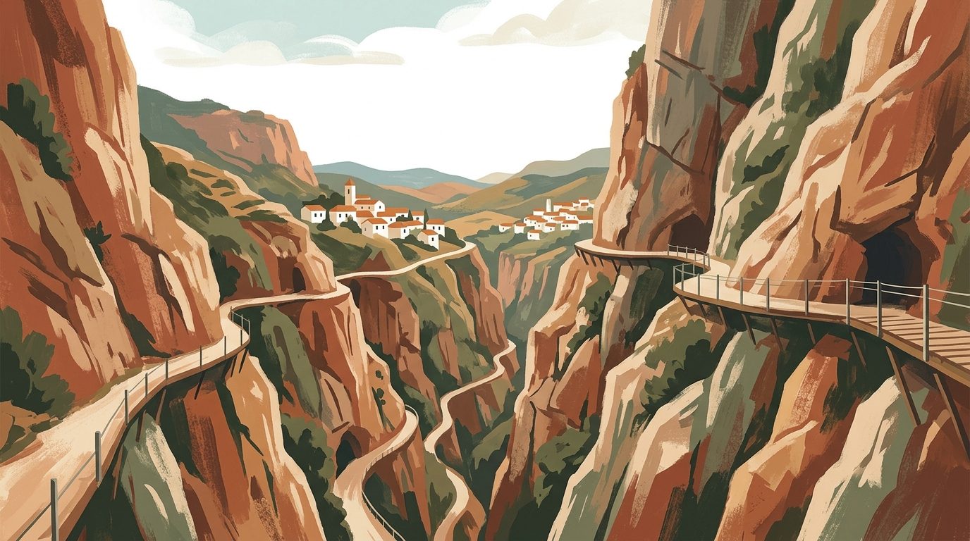
The Route Breakdown: What to Expect on the Boards
The total distance from the control cabin to the exit gate is roughly 5 kilometres, but only 2.9 kilometres of this is on the suspended wooden boardwalks. The hike is divided into several distinct stages.
Stage 1: Desfiladero de Gaitanejo
Almost immediately after leaving the control area, you step onto the first section of boardwalk. The gorge here is remarkably narrow, with the vertical walls seemingly close enough to touch. The Guadalhorce river rushes violently through the restricted channel below. Here, you will see the remains of the old hydroelectric infrastructure and the original decaying concrete path pinned beneath your feet. The contrast between the sheer drop and the solid wooden planks is immediate and thrilling.
Stage 2: El Valle del Hoyo
After navigating the first gorge, the sheer cliffs suddenly give way to a wide, open valley known as the Valle del Hoyo. The boardwalks end, and you transition onto a wide dirt path surrounded by Aleppo pines and scrubland. This section is completely exposed to the elements. In the height of summer, the heat here can be intense, as the high canyon walls block any prevailing breeze. You will walk past the ruins of old canal systems and railway viaducts. Take your time here to drink water and observe the skies for soaring eagles and vultures.
Stage 3: Desfiladero de los Gaitanes
The path narrows once more as you approach the most dramatic section of the hike. The Desfiladero de los Gaitanes is the main event. The boardwalks resume, clinging to a sheer cliff face that drops over 100 metres straight down into the water. The scale is immense. On the opposite side of the gorge, you will see the Córdoba-Málaga railway line disappearing in and out of tunnels blasted through the rock.
Towards the end of this section, you reach the glass balcony, a small viewing platform with a transparent floor jutting out over the void. Shortly after, the climax of the route presents itself: the Puente Colgante (Suspension Bridge).
Stage 4: The Suspension Bridge and Exit
To cross from the northern cliff face to the southern exit, you must traverse a steel suspension bridge spanning the gorge. The bridge is roughly 35 metres long and hangs 105 metres above the river. The floor is made of steel grating, meaning you look directly down at the water beneath your boots. Wind naturally funnels through the gorge here, causing the bridge to sway slightly. It is a strictly controlled crossing, with staff ensuring only a few people walk over at a time.
Once across, a final steep set of wooden stairs leads you up the southern cliff face, transitioning onto a downward dirt path that winds for another 2 kilometres into the village of El Chorro, where you deposit your hard hat and find your waiting car.
Difficulty and Danger: Who Should Actually Walk It?
Despite its fearsome historical reputation, the modern Caminito del Rey is not a physically arduous hike. The route is mostly flat or downhill, and the wooden boards are wide, secure, and flanked by high wire-mesh fencing. Anyone with a baseline level of fitness who is capable of walking 8 kilometres on uneven ground can complete it. However, there are crucial caveats.
The primary obstacle is psychological. If you suffer from acute vertigo or a severe fear of heights, this route will be intensely uncomfortable. The suspension bridge, with its see-through metal grid floor, is particularly challenging for nervous walkers. There is no turning back once you begin the one-way route.
Children under the age of 8 are strictly prohibited, and you must carry proof of age (a passport or ID card) for any child who looks borderline. The trail is entirely inaccessible for wheelchairs or pushchairs.
Furthermore, the gorge is highly susceptible to extreme weather. Management will proactively close the route if wind speeds exceed safe limits or if heavy rain causes rockfall risks. Always check your email and the official website on the morning of your hike; if the route is closed, you will be offered a date change or a refund.
The Engineering Past: A Brief History
To walk the Caminito is to walk through a monument of early 20th-century industrial ambition. Between 1901 and 1905, the Sociedad Hidroeléctrica del Chorro needed a way for workers to maintain the water channel connecting the Salto del Chorro and Salto del Gaitanejo hydroelectric power plants. Chief engineer Rafael Benjumea directed the construction of a precarious path pinned to the cliff face.
The work was notoriously dangerous, heavily reliant on sailors brought inland from the coast who were accustomed to hanging from ropes and climbing rigging. They hauled sand and cement up the vertical faces, working suspended over the abyss.
In 1921, King Alfonso XIII of Spain travelled to Málaga to officially inaugurate the Conde de Guadalhorce reservoir. To reach the dam, he walked a section of the perilous gorge path. From that day forward, the workers' walkway became known as the 'Caminito del Rey': the King's Little Pathway.
Beyond the Walkway: Nearby Attractions
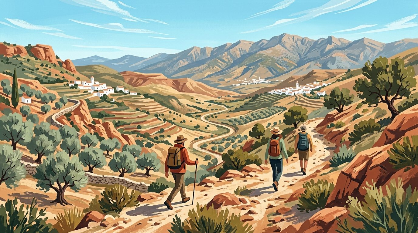
The area surrounding the gorge, known as the Guadalhorce Valley, merits exploration beyond the hike itself. Just a 15-minute drive from the North access lie the spectacular turquoise waters of the Embalse del Conde de Guadalhorce. Surrounded by dense pine forests, these reservoir lakes are ideal for a post-hike swim. You can rent kayaks or paddleboards from the shores near Ardales.
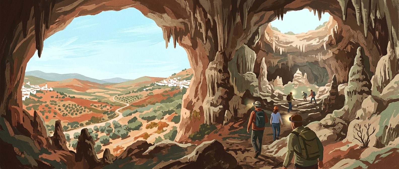
High on a hillside above the gorge, accessed via a remarkably steep and winding mountain road, are the ruins of Bobastro. This 9th-century fortress was the stronghold of Omar ibn Hafsun, a rebel who staged a massive uprising against the Emirate of Córdoba. The highlight of the site is a Mozarabic church carved directly into a single massive sandstone boulder.
For accommodation, the village of El Chorro serves as the perfect base camp. Staying near the South access allows you to tackle the gorge early before the day-trippers arrive from the coast. The Complejo Turístico La Garganta is housed in an old flour mill right by the train station, offering brilliant views of the gorge exit from its terraces.
Practical Information
- Costs: General admission is €10. Official guided tours are €18. The shuttle bus is €2.50 (payable on board). Parking at the official lots costs €2.
- What to Bring: You must carry at least 1.5 litres of water per person, especially from May to September. Bring high-energy snacks. A valid ID or passport is required, as tickets are nominative.
- What to Leave Behind: The rules are incredibly strict. You cannot use selfie sticks, tripods, or drones. Trekking poles and walking sticks are banned (unless required for medical reasons, with a rubber tip). Large backpacks are prohibited; stick to a small daypack.
- Footwear: Hiking boots or sturdy trainers are mandatory. You will be denied entry if you arrive in flip-flops, sandals, or high heels.
- Toilets: There are portaloos near the control cabin at the start, and facilities at the exit in El Chorro. There are absolutely no toilets along the 7.7-kilometre route itself. Use the facilities before your ticket scan.
- Timing: Depending on your pace and how often you stop for photographs, the entire experience (including the approach trails) takes between 2.5 and 3.5 hours.
Last reviewed: 21 June 2026 · Editorial policy
Related guides
Walking the GR7 in Andalucía: The Ultimate Guide to Spain's Great Southern Trail
Leave the crowds behind and tackle Spain's greatest long-distance trail. From navigating faded waymarks to crossing the high Alpujarras, here is exactly how to walk the GR7 in Andalucía.
11 min read
A Guide to Hiking and Walking in Andalucía
Discover the best hiking trails in Andalucía, from the high peaks of the Sierra Nevada to the volcanic coast of Cabo de Gata and the lush forests of Grazalema.
7 min read
Subterranean Andalucía: A Guide to Caving and Show Caves
Discover the underground wonders of Andalucía, from the record-breaking columns of Nerja to the sparkling gypsum crystals of Sorbas.
7 min read
Exploring the Trails: A Guide to Hiking and Walking in Málaga
Discover the rugged interior of Málaga through its diverse walking trails, from the spectacular Caminito del Rey to the prehistoric limestone peaks of El Torcal.
7 min read
Hiking and Walking in Cádiz: From Atlantic Cliffs to Mountain Peaks
Discover the diverse landscapes of Cádiz, from the high-altitude Spanish Fir forests of Grazalema to the dramatic coastal cliffs of Barbate.
6 min read
Hiking and Walking in Granada: From High Peaks to Gorge Trails
From the high-altitude peaks of the Sierra Nevada to the terraced valleys of the Alpujarras, Granada offers some of the most varied walking terrain in southern Spain.
6 min read
More guides
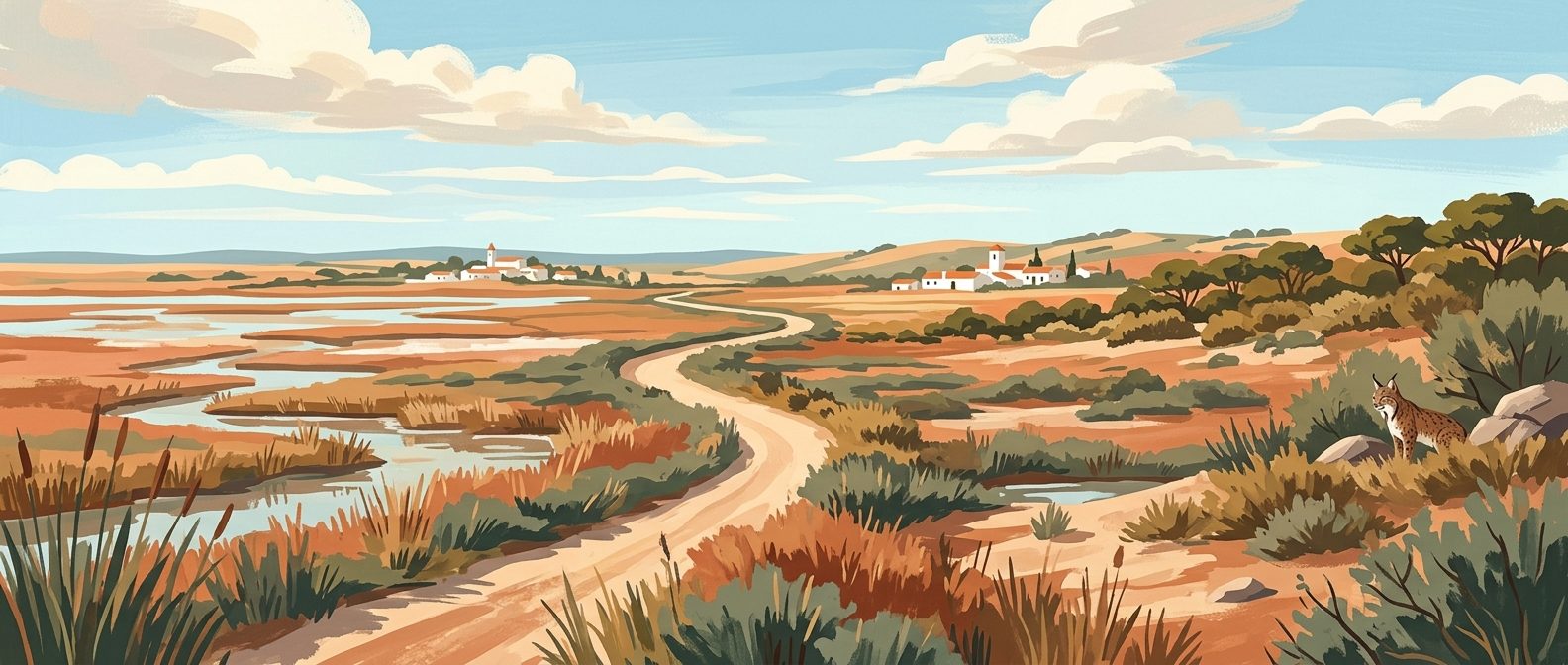
Doñana National Park Guide: Marshes, Lynx, and Restricted Zones
A shifting landscape of tidal marshes, ancient pine forests, and wind-sculpted dunes, Doñana is Europe's most crucial wetland reserve. Navigating its restricted zones requires planning, but the reward is encountering Iberian lynx and thousands of migratory flamingos in total wilderness.
9 min read
The Ultimate Andalucía Photography Route: Chasing Light Across Southern Spain
Forget the bleached-out midday snaps and crowded tourist viewpoints; photographing southern Spain requires an obsession with timing and terrain. This comprehensive route guides you to the exact coordinates and precise hours needed to capture the region's finest architectural geometry and dramatic geology.
9 min read
Roman Andalucía Heritage Trail
Before the Moorish emirs reshaped southern Spain, this territory was the fiercely wealthy Roman province of Baetica, a crucial supplier of olive oil and emperors to the empire. This seven-day route traces the classical footprint across Andalucía, leading you from coastal fish-salting ruins and lonely mountain amphitheatres to the architectural remnants that bridged the fall of Rome and the rise of Al-Andalus.
9 min read
The Alpujarras Complete Guide: High Altitudes and Moorish Footpaths
South of the Sierra Nevada, the Alpujarras is a high-altitude network of steep ravines, ancient irrigation channels, and white villages clinging to the mountainside. This guide covers how to navigate the hairpin bends, where to find the best hiking trails, and which village suits your basecamp needs.
9 min read
The Ultimate Jamón Ibérico Route: Through Huelva and Córdoba
Tracking down the world's finest ham is an exercise in geography, patience, and appetite. This three-day drive through the ancient oak forests of Huelva and Córdoba takes you straight to the source of authentic Jamón 100% Ibérico de Bellota.
9 min read
Best Weekend Breaks in Andalucía
When you live in southern Spain, the temptation is to spend every weekend repeating the same comfortable Sunday routines. These seven targeted 48-hour itineraries bypass the obvious tourist traps, giving residents and expats a genuine excuse to pack a weekend bag and drive somewhere entirely new.
11 min read
One Week in Andalucía Itinerary: The Classic Triangle & Ronda
Seven days in southern Spain is just enough time to trace the defining Moorish capitals and mountain roads of Andalucía. This itinerary strips away the coastal sprawl to focus entirely on the essential cities of Málaga, Granada, Córdoba, and Sevilla, returning via the dramatic mountain gorge of Ronda.
9 min read
Budget Backpacker Guide to Andalucía
Andalucía on a shoestring is entirely possible if you know where to eat, how to travel, and which timing tricks unlock the region's monuments for free. Taking this approach strips away the tourist premium to show you exactly how to backpack southern Spain on less than €50 a day.
10 min read
Motorcycle Touring in Andalucía: The Ultimate Rider's Guide
Forget the motorways; Andalucía’s true character is carved into its mountain passes, where immaculate asphalt drapes across deep ravines and high-altitude plateaus. This is a landscape built for motorcycles, offering thousands of kilometres of technical riding.
9 min read
Newsletter
More stories from Andalucía
Weekly notes, seasonal picks, and the next guides worth bookmarking.