Route
Walking the GR7 in Andalucía: The Ultimate Guide to Spain's Great Southern Trail
Leave the crowds behind and tackle Spain's greatest long-distance trail. From navigating faded waymarks to crossing the high Alpujarras, here is exactly how to walk the GR7 in Andalucía.
By Dan · Updated 16 July 2026 · 11 min read
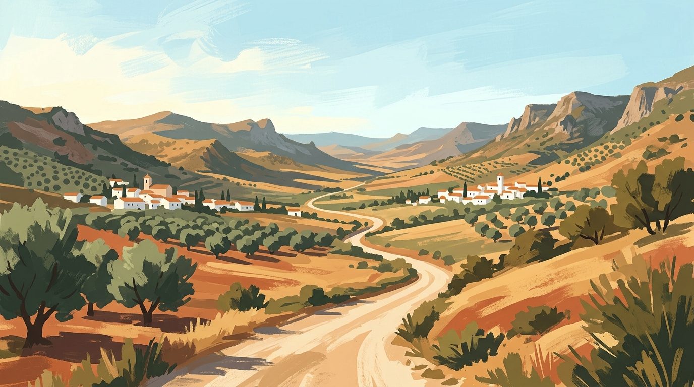
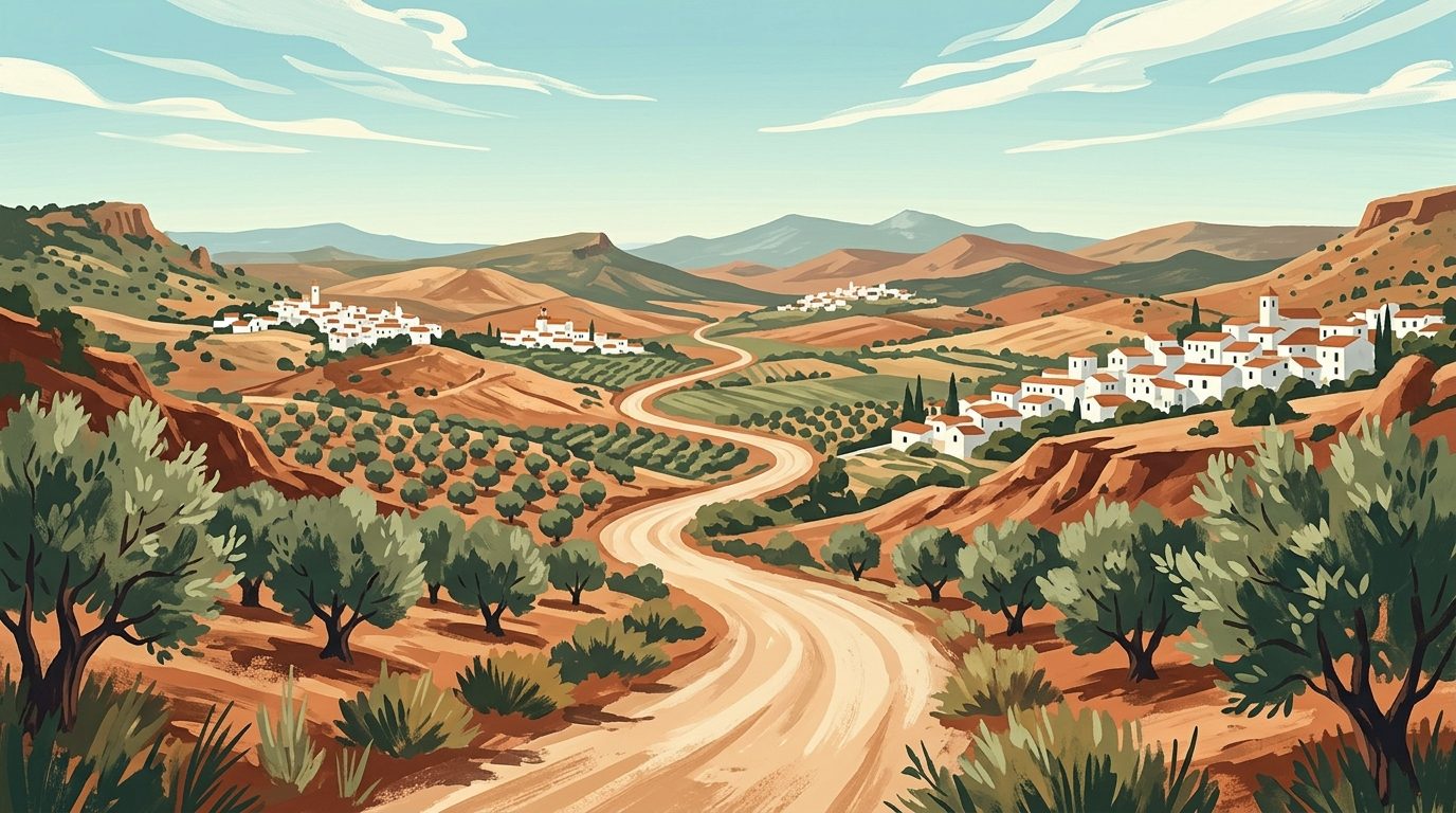
There is a specific kind of silence you only find in the deep interior of Andalucía. You notice it most around mid-morning, halfway up a limestone ridge, when the only sound is the rhythmic click of your walking poles and the distant, metallic clanking of goat bells echoing up from the valley floor. This is the GR7, Spain’s first long-distance footpath, and arguably the most rewarding overland journey in southern Europe.
Part of the European E4 trail that stretches all the way to Cyprus, the GR7 begins its continental journey at the wind-whipped lighthouse of Tarifa. From there, it traces a staggering 1,250-kilometre line through Andalucía alone, crossing Cádiz, Málaga, Granada, and either Almería or Jaén depending on the branch you take, before slipping quietly into the Murcia and Valencia regions.
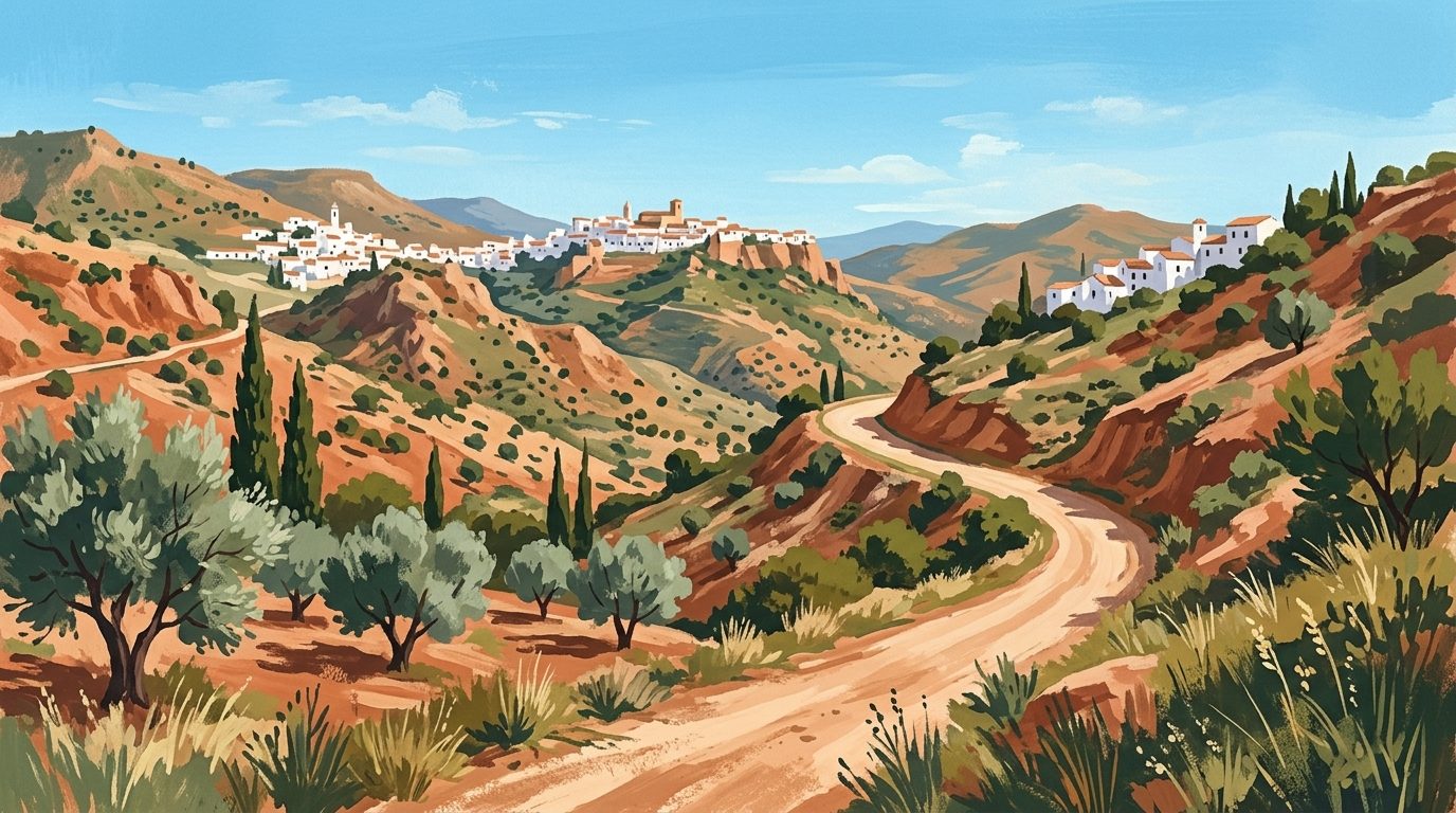
I have spent the better part of a decade walking sections of this trail. It is not a manicured, heavily commercialised route. There are no pilgrim passports, no luggage transfer services hovering at every crossroad, and you will not find yellow arrows painted every ten metres. What you will find is a raw, unfiltered Spain: ancient Moorish irrigation channels (acequias), sheer ravines, high-altitude villages clinging to the sides of the Sierra Nevada, and days where you might only speak to a single shepherd.
Because covering the entire Andalucían GR7 in one go requires around two months and formidable logistical planning, this guide focuses on understanding the whole route, while providing a deeply specific, week-long itinerary for its most spectacular stretch: the southern branch through the High Alpujarras.
Understanding the Route: The Great Split
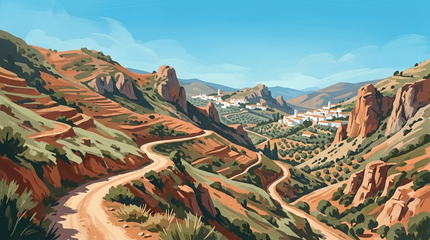
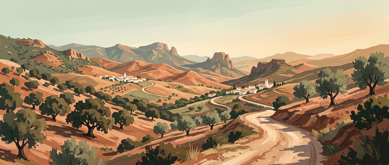
The Andalucían section of the GR7 begins with a long march north from Tarifa, cutting through the dense, prehistoric-feeling cork oak forests of the Los Alcornocales Natural Park. It then climbs into the Serranía de Ronda, skirting the dramatic gorge of the town itself, before pushing east across the dusty, rolling plains towards Antequera.
It is in the Málaga province, specifically at the small village of Villanueva de Cauche, that the trail makes a crucial division.
- El Ramal Norte (The Northern Branch): This path swings upwards through the province of Córdoba and the endless olive groves of Jaén. It is a brilliant route if you want to walk through the rugged Sierras Subbéticas and the vast, pine-scented expanses of the Sierras de Cazorla, Segura y Las Villas Natural Park. It is generally flatter, though blisteringly hot in the warmer months.
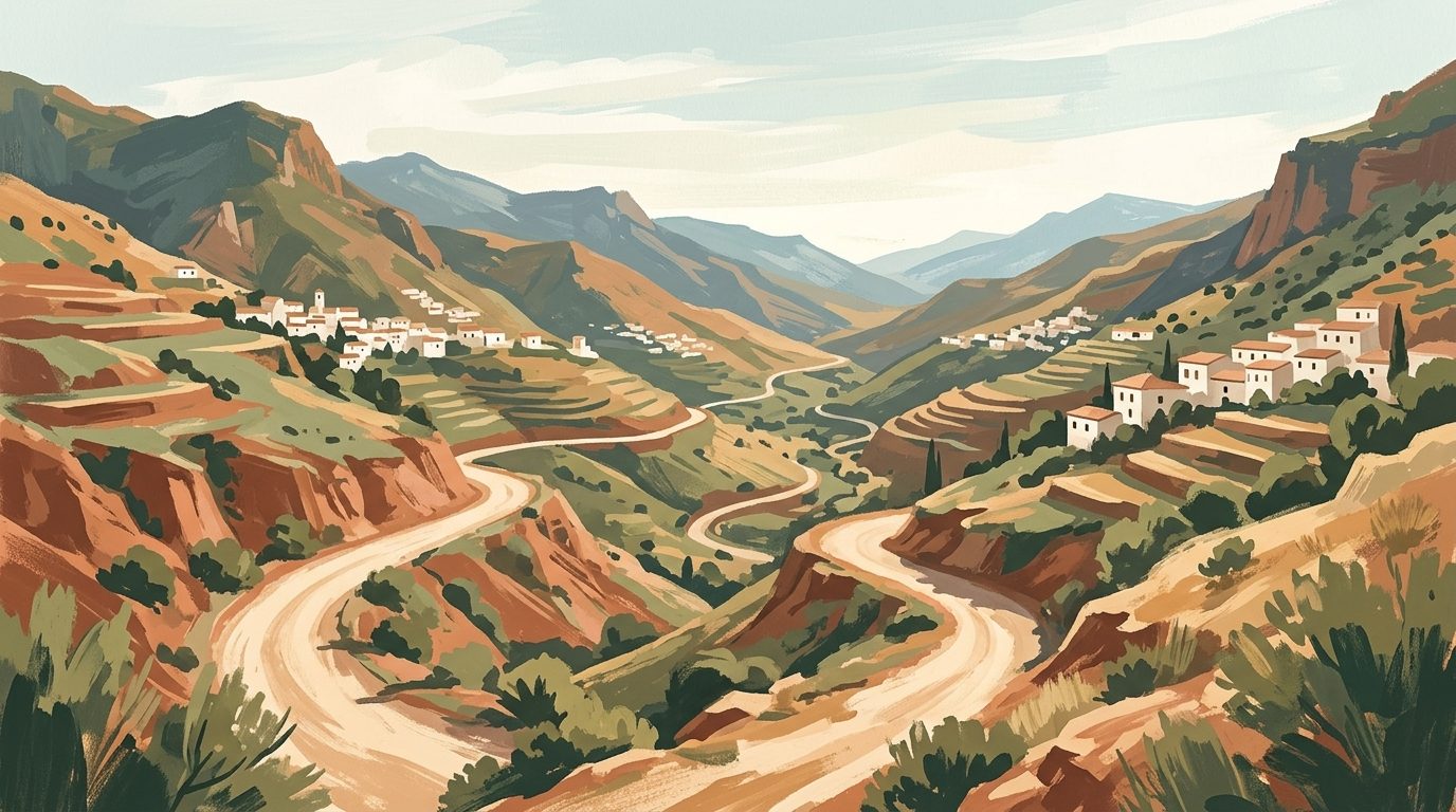
- El Ramal Sur (The Southern Branch): This is the mountain route, and in my opinion, the absolute pinnacle of Andalucían hiking. It heads east through the Alhama de Granada region, crosses the citrus-filled Valle de Lecrín, and then tackles the southern flanks of the Sierra Nevada, the Alpujarras, before crossing the provincial border into Almería.
When to Walk (and When You Absolutely Shouldn't)
Let me be entirely blunt: do not attempt to walk the GR7 in July or August. The interior of Andalucía becomes lethally hot. Temperatures regularly exceed 40°C in the shade, and on the exposed mountainsides, the sun reflecting off the pale schist and limestone creates an oven-like effect. Heatstroke is a genuine risk, and many of the natural springs dry up completely by mid-June.
The optimal windows are the shoulder seasons.
Mid-September to late November: This is my preferred time. The brutal heat has broken, the skies are a piercing, cloudless blue, and the Alpujarras are awash with autumn colour. The chestnut trees turn a brilliant copper, and you can often forage for wild figs and almonds along the trail. By November, you will usually see the first snowfalls capping the Mulhacén peak above you, while you remain comfortable in a fleece down at 1,500 metres.
March to late May: Spring is equally beautiful, characterised by fierce bursts of wildflowers, heavy water flow in the rivers from the mountain melt, and longer daylight hours. However, spring weather is notoriously volatile in the high sierras. You can easily start a day in shorts and end it in a torrential, freezing downpour.
Winter (December to February) is entirely possible on the lower sections in Cádiz and Málaga, but on the Ramal Sur through the Sierra Nevada, you will likely encounter heavy snow and ice across the higher passes, requiring winter mountaineering experience and equipment.
Honest Caveats: What You Need to Know Before You Pack
Before detailing the itinerary, it is vital to understand what you are getting into. The GR7 is marked by the standard European system of two horizontal painted stripes: one white, one red. In an ideal world, you follow these markers on rocks, trees, and posts. In reality, the Andalucían sun fades the paint to a pale pink, rocks are moved by farmers, and posts are knocked over by tractors. You will lose the trail.
You cannot rely solely on the physical markers. You must carry a dedicated GPS device or use a reliable offline mapping application on your phone (with a high-capacity power bank), loaded with the specific GPX tracks for your chosen section. I highly recommend cross-referencing your digital map with the Cicerone guidebook for the GR7 and checking the official Federación Andaluza de Deportes de Montaña, Escalada y Senderismo (FAM) website for any temporary trail closures or diversions.
Furthermore, you need to be prepared for the dogs. Spanish shepherds use massive Mastín Español (Spanish Mastiffs) to guard their flocks. These dogs are working animals, not pets, and they will aggressively bark and block your path if you get too close to their sheep. If you encounter a flock, do not walk directly through it. Wait for the shepherd to wave you past, or take a wide detour. If a dog approaches you, do not run. Stand your ground, keep your walking poles between you and the dog, and speak in a calm, firm voice. They are doing their job; respect their space and they will eventually lose interest.
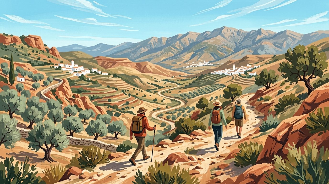
The Highlight Reel: A 7-Day Alpujarras Itinerary (Ramal Sur)
If you have one week to experience the very best of the GR7, the stretch from Lanjarón to Laroles through the High Alpujarras is unparalleled. It offers deep ravines, white-washed villages with flat slate roofs, and the constant, looming presence of the Iberian Peninsula's highest peaks.
Day 1: Lanjarón to Soportújar (Approx. 14 km)
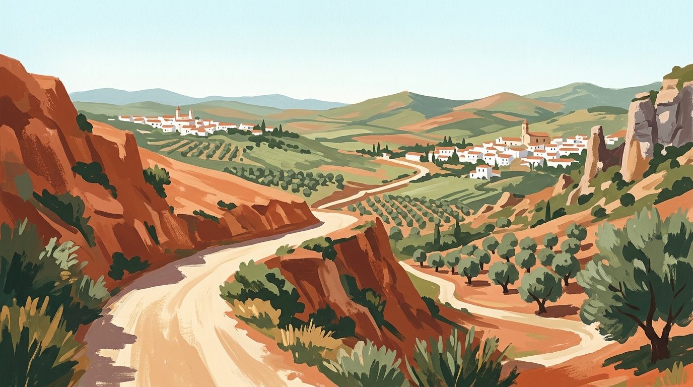
Lanjarón is the gateway to the Alpujarras, famous across Spain for its mineral water. Fill your bottles at one of the tiled public fountains: the water here is icy and pure. The trail begins with a punishing, steep climb right out of the town, immediately reminding you that this is a mountain route.
You will ascend through steep terraces of olive and almond trees, eventually levelling out on a high dirt track that offers sweeping views back down towards the Mediterranean Sea. On a clear day, you can see the faint outline of the Rif Mountains in Morocco. The trail winds its way to Soportújar, a village that has leaned heavily into local legends of witchcraft. You will notice effigies of witches and black cats on the balconies.
Where to stay: Accommodation here is sparse; we recommend booking your rural rentals or pensions well in advance, particularly during the May and September peaks.
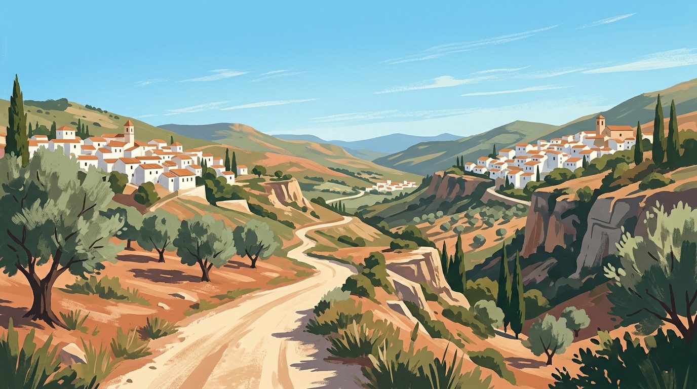
Day 2: Soportújar to Pampaneira (Approx. 12 km)
This is a shorter day, but it involves crossing one of the most dramatic landscapes in the region: the Barranco de Poqueira. Leaving Soportújar, you walk through thick oak forests, passing the O Sel Ling Buddhist Retreat Centre. It is a surreal experience to encounter prayer flags fluttering in the Andalucían wind, but the monks chose this site for its absolute isolation. The GR7 cuts right past the entrance.
The descent into the Poqueira gorge is steep and rocky. You will cross the river at the bottom before climbing sharply up into Pampaneira. This village is arguably one of the most attractive in the region, characterised by its tinaos, covered walkways that tunnel under the houses. Spend the afternoon sitting in the main square near the church, drinking a cold Alhambra beer.
Where to stay: Pampaneira has excellent small guesthouses.
Day 3: Pampaneira to Trevélez (Approx. 18 km)
Eat a substantial breakfast; you will need the energy today. The trail climbs out of Pampaneira, passes through the higher villages of Bubión and Capileira, and then leaves the road network entirely as it cuts across the high mountain slopes towards Trevélez. The path here sits at around 1,500 to 1,700 metres of altitude.
You are walking right on the edge of the tree line here. The vegetation shifts to hardy mountain shrubs, broom, and wild thyme. The exposure to the sun is absolute, so start walking by 7:30 AM to beat the mid-afternoon heat.
You will know you are approaching Trevélez long before you see it. The village is famous across Spain for its jamón serrano, which is cured in the dry, freezing mountain air. As you round the final ridge, the scent of curing pork actually hangs in the wind. Trevélez sits at 1,476 metres, making it one of the highest municipalities in the country.
Where to stay: Rest your legs at a comfortable local hotel.
Day 4: Trevélez to Bérchules (Approx. 16 km)
Leaving Trevélez, the GR7 crosses the river and climbs steadily into dense, dark pine forests. This section offers a welcome respite from the sun. The trail weaves in and out of the forest, crossing small streams and passing through the quiet village of Juviles.
The walking here is glorious, following ancient pathways built into the side of the mountain. You will eventually descend into Bérchules, a village set across a deep gorge. Bérchules is famous locally for celebrating New Year's Eve in August, a tradition born out of a massive power cut that ruined their December celebrations in the 1990s. The locals simply decided to delay the party by eight months, and the tradition stuck.
Where to eat: You must try a plato alpujarreño while in the region (a high-calorie mountain dish of fried potatoes, eggs, blood sausage (morcilla), sweet peppers, and cured ham). It is exactly what your body needs after four days of hiking.
Day 5: Bérchules to Yegen (Approx. 14 km)
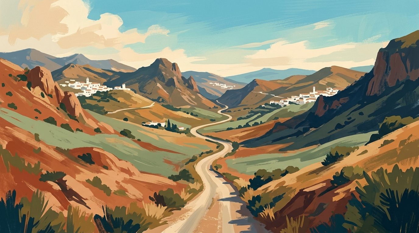
Today, the landscape begins a distinct transformation. As you walk eastwards towards Yegen, the lush, green valleys of the western Alpujarras slowly give way to a drier, more arid environment. The slate underfoot turns to a lighter grey, and the vegetation becomes sparser.
This section of the GR7 heavily utilises the old Moorish acequias. Walking alongside these narrow water channels is a joy; the path is flat, and the sound of running water is a constant companion.
You arrive in Yegen, a village immortalised by the British writer Gerald Brenan, who lived here in the 1920s and wrote 'South from Granada'. His old house is still there, marked with a plaque. Yegen feels incredibly remote, far removed from the slightly busier tourist trails of the Poqueira gorge.
Where to stay: Guesthouses here are simple and traditional.
Day 6: Yegen to Válor (Approx. 12 km)
A relatively easy day that allows you to take your time. The trail descends through almond groves and small agricultural plots. In late January or February, this entire valley turns white and pale pink with almond blossom, a sight that makes the cold winter walking entirely worthwhile.
The path winds through the tiny hamlet of Golco before climbing up to Válor. Válor is historically significant as the birthplace of Aben Humeya, the leader of the Morisco revolt against the Catholic Monarchs in the 16th century. It is a quiet, deeply traditional village where the rhythm of life revolves entirely around the agricultural seasons.
Day 7: Válor to Laroles (Approx. 15 km)
The final push of this itinerary takes you to the very edge of the Granada province. Leaving Válor, the trail crosses several deep, dry ravines (ramblas). The earth here is loose and sandy, requiring careful footwork on the steep descents.
You will pass through Mairena, a village known for its exceptional olive oil, before arriving in Laroles. Laroles marks the end of the high Granada Alpujarras. From here, the GR7 pushes over the border into Almería, where the mountains eventually give way to the cinematic badlands of the Tabernas Desert.
Celebrate your arrival with a heavy dinner of local partridge or rabbit stew, washed down with a jug of the deeply coloured, unlabelled costa wine that every local bar keeps in a barrel behind the counter.
Essential Gear and Logistics
Walking the GR7 is not a casual stroll. You are in serious mountain terrain, even if the villages look close together on a map. Proper preparation is non-negotiable.
Footwear
Leave the heavy, stiff mountaineering boots at home unless you are walking in heavy snow. The majority of the GR7 is on hard-packed dirt, sharp schist, and occasional stretches of asphalt road. I strongly favour a high-quality, lightweight trail running shoe with an aggressive tread (like the Brooks Cascadia or Hoka Speedgoat). They dry quickly, breathe well in the heat, and are far kinder to your feet over a 20-kilometre day.
Water Strategy
I cannot overstate this: carry more water than you think you need. While the map might show multiple springs (fuentes) along your daily route, many of these are agricultural pipes that farmers turn off, or natural springs that dry up entirely outside of winter. Carry a minimum of three litres per person, per day. I also strongly advise carrying a water filtration system (like a Sawyer Squeeze) so you can safely draw from the mountain streams if you are caught short.
Sun Protection
The Andalucían sun is unforgiving, even in October. There are long stretches of the GR7, particularly between Trevélez and Laroles, where there is zero shade for hours at a time. A wide-brimmed hat, SPF 50 sunscreen applied regularly, and a lightweight, long-sleeved hiking shirt are essential. Many walkers underestimate the exposure at altitude.
Trekking Poles
Take them. The descents into the barrancos (ravines) are incredibly steep, often covered in loose scree. Poles will save your knees from a brutal pounding and provide essential stability on the rocky river crossings. As mentioned earlier, they are also incredibly useful for keeping territorial farm dogs at a safe distance.
Final Thoughts
Walking the GR7 across Andalucía requires patience, a tolerance for faded paint marks, and a willingness to embrace the sheer scale of the landscape. You will experience dead ends, blistered heels, and sudden thunderstorms that soak you to the bone.
Yet, the rewards are immense. You get to see a version of Spain that remains entirely untamed by mass tourism. You will walk roads built by the Romans, drink from channels engineered by the Moors, and sleep in villages that feel entirely detached from the 21st century. Pack your bag, lace up your shoes, and point yourself towards the mountains. The trail is waiting.
Last reviewed: 21 June 2026 · Editorial policy
Related guides
The Complete Caminito del Rey Guide: How to Walk Spain's Most Famous Gorge
Walking the precipitous boardwalks of the Caminito del Rey is a thrilling encounter with sheer limestone cliffs and fascinating engineering heritage. This guide details exactly how to secure tickets, navigate the linear route, and plan your logistics.
10 min read
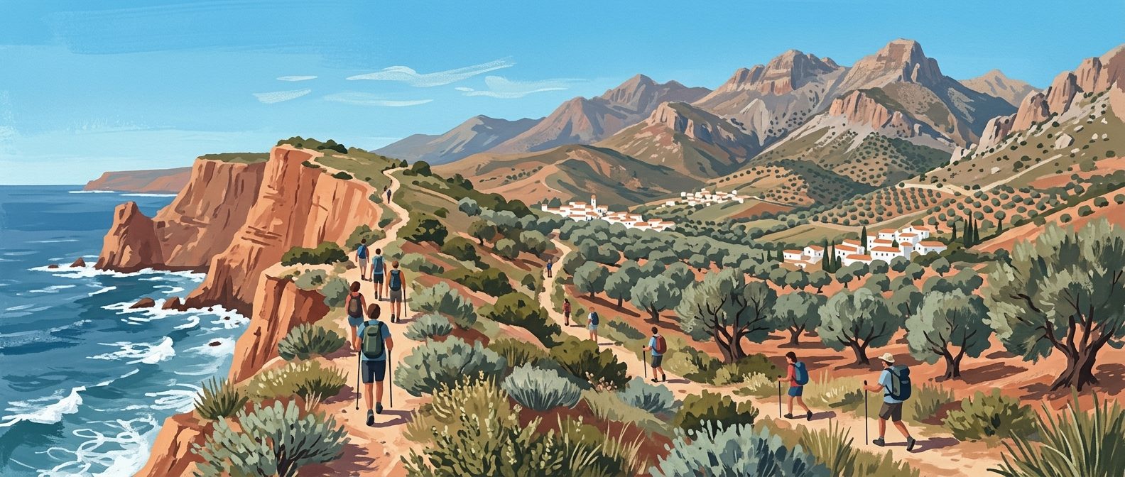
A Guide to Hiking and Walking in Andalucía
Discover the best hiking trails in Andalucía, from the high peaks of the Sierra Nevada to the volcanic coast of Cabo de Gata and the lush forests of Grazalema.
7 min read
A Guide to the Best Via Ferrata Routes in Andalucía
Discover the best via ferrata routes in Andalucía, from the iconic cliffs of Ronda to the high-wire bridges of Comares and El Chorro.
6 min read
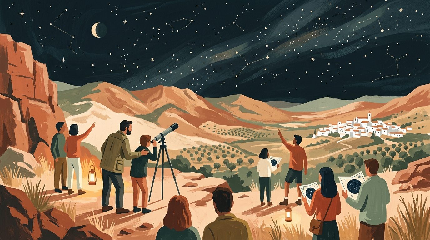
Exploring the Heavens: A Practical Guide to Stargazing in Andalucía
Andalucía offers some of Europe’s clearest night skies, particularly within its expansive Starlight Reserves. This guide covers the best locations and practical tips for observing the Milky Way across the southern Spanish landscape.
6 min read
Exploring the Trails: A Guide to Hiking and Walking in Málaga
Discover the rugged interior of Málaga through its diverse walking trails, from the spectacular Caminito del Rey to the prehistoric limestone peaks of El Torcal.
7 min read
Hiking and Walking in Cádiz: From Atlantic Cliffs to Mountain Peaks
Discover the diverse landscapes of Cádiz, from the high-altitude Spanish Fir forests of Grazalema to the dramatic coastal cliffs of Barbate.
6 min read
More guides
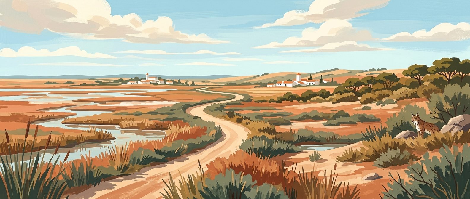
Doñana National Park Guide: Marshes, Lynx, and Restricted Zones
A shifting landscape of tidal marshes, ancient pine forests, and wind-sculpted dunes, Doñana is Europe's most crucial wetland reserve. Navigating its restricted zones requires planning, but the reward is encountering Iberian lynx and thousands of migratory flamingos in total wilderness.
9 min read
The Ultimate Andalucía Photography Route: Chasing Light Across Southern Spain
Forget the bleached-out midday snaps and crowded tourist viewpoints; photographing southern Spain requires an obsession with timing and terrain. This comprehensive route guides you to the exact coordinates and precise hours needed to capture the region's finest architectural geometry and dramatic geology.
9 min read
Roman Andalucía Heritage Trail
Before the Moorish emirs reshaped southern Spain, this territory was the fiercely wealthy Roman province of Baetica, a crucial supplier of olive oil and emperors to the empire. This seven-day route traces the classical footprint across Andalucía, leading you from coastal fish-salting ruins and lonely mountain amphitheatres to the architectural remnants that bridged the fall of Rome and the rise of Al-Andalus.
9 min read
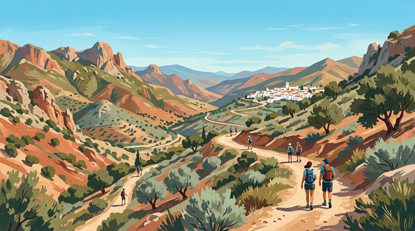
The Alpujarras Complete Guide: High Altitudes and Moorish Footpaths
South of the Sierra Nevada, the Alpujarras is a high-altitude network of steep ravines, ancient irrigation channels, and white villages clinging to the mountainside. This guide covers how to navigate the hairpin bends, where to find the best hiking trails, and which village suits your basecamp needs.
9 min read
The Ultimate Jamón Ibérico Route: Through Huelva and Córdoba
Tracking down the world's finest ham is an exercise in geography, patience, and appetite. This three-day drive through the ancient oak forests of Huelva and Córdoba takes you straight to the source of authentic Jamón 100% Ibérico de Bellota.
9 min read
Best Weekend Breaks in Andalucía
When you live in southern Spain, the temptation is to spend every weekend repeating the same comfortable Sunday routines. These seven targeted 48-hour itineraries bypass the obvious tourist traps, giving residents and expats a genuine excuse to pack a weekend bag and drive somewhere entirely new.
11 min read
One Week in Andalucía Itinerary: The Classic Triangle & Ronda
Seven days in southern Spain is just enough time to trace the defining Moorish capitals and mountain roads of Andalucía. This itinerary strips away the coastal sprawl to focus entirely on the essential cities of Málaga, Granada, Córdoba, and Sevilla, returning via the dramatic mountain gorge of Ronda.
9 min read
Budget Backpacker Guide to Andalucía
Andalucía on a shoestring is entirely possible if you know where to eat, how to travel, and which timing tricks unlock the region's monuments for free. Taking this approach strips away the tourist premium to show you exactly how to backpack southern Spain on less than €50 a day.
10 min read
Motorcycle Touring in Andalucía: The Ultimate Rider's Guide
Forget the motorways; Andalucía’s true character is carved into its mountain passes, where immaculate asphalt drapes across deep ravines and high-altitude plateaus. This is a landscape built for motorcycles, offering thousands of kilometres of technical riding.
9 min read
Newsletter
More stories from Andalucía
Weekly notes, seasonal picks, and the next guides worth bookmarking.